 Book a 15-minute call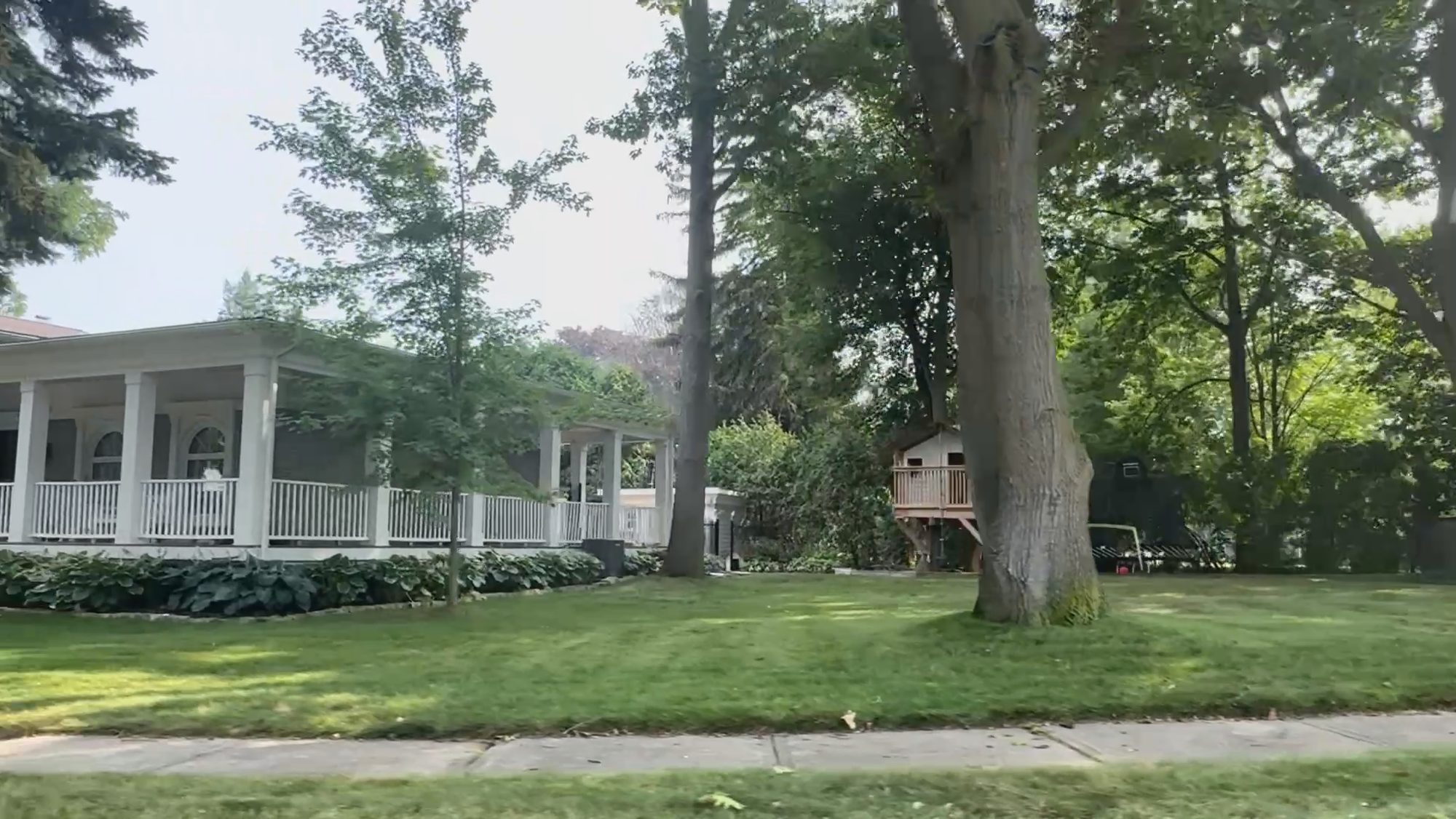
Photography from our own GTA shoots
A neighbourhood guide · Mississauga
Sheridan, in one guide.
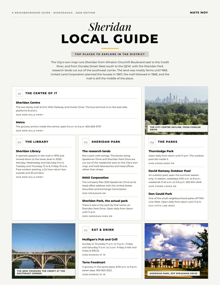
The City's own map runs Sheridan from Winston Churchill Boulevard east to the Credit River, and from Dundas Street West south to the QEW, with the Sheridan Park research lands cut out of the southwest...
That download link had expired. Enter your details and a fresh one will be in your inbox in a minute.
What is inside
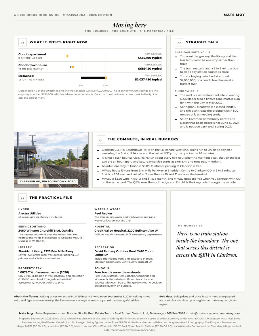
- What each home type is asking right now, dated and sourced
- Straight talk: who Sheridan suits, and who should think twice
- The commute in real numbers
- The practical file: hydro, waste, hospital, library
- Ten local picks, with addresses
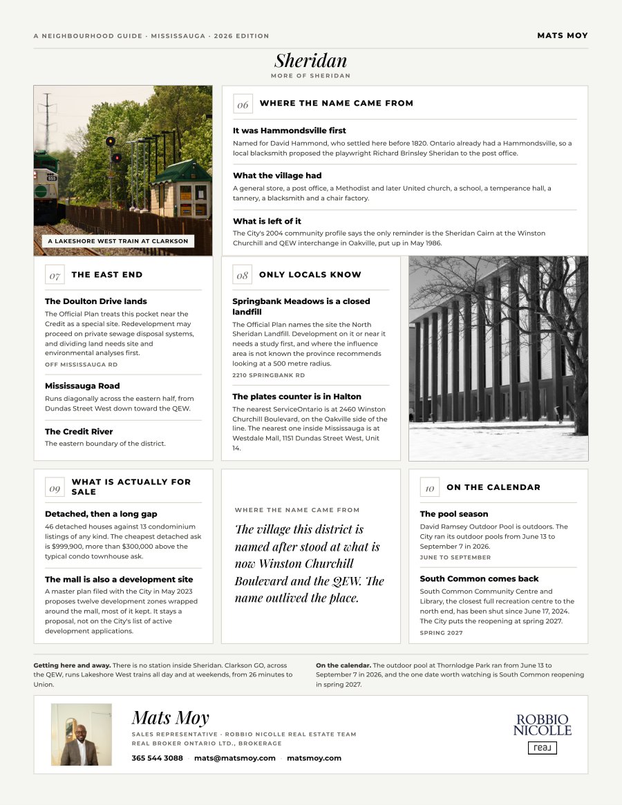
- Only-locals-know facts