 Book a 15-minute call
 Free downloads
Neighbourhood guides.
One guide per neighbourhood: where locals actually eat, the parks and the waterfront, the events calendar, how to get around, and what the housing really looks like. Every place named is checked before it goes in. Enter a first name and email on a guide's page and it arrives as a PDF.
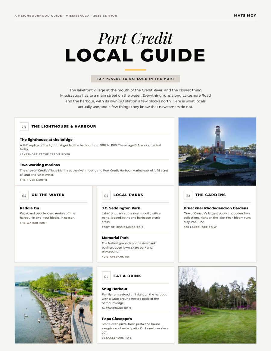
Port Credit, Mississauga
Ten local picks plus the mover’s page: what every home type here is asking right now, the commute in real numbers, and the practical file for your first month.
Get the guide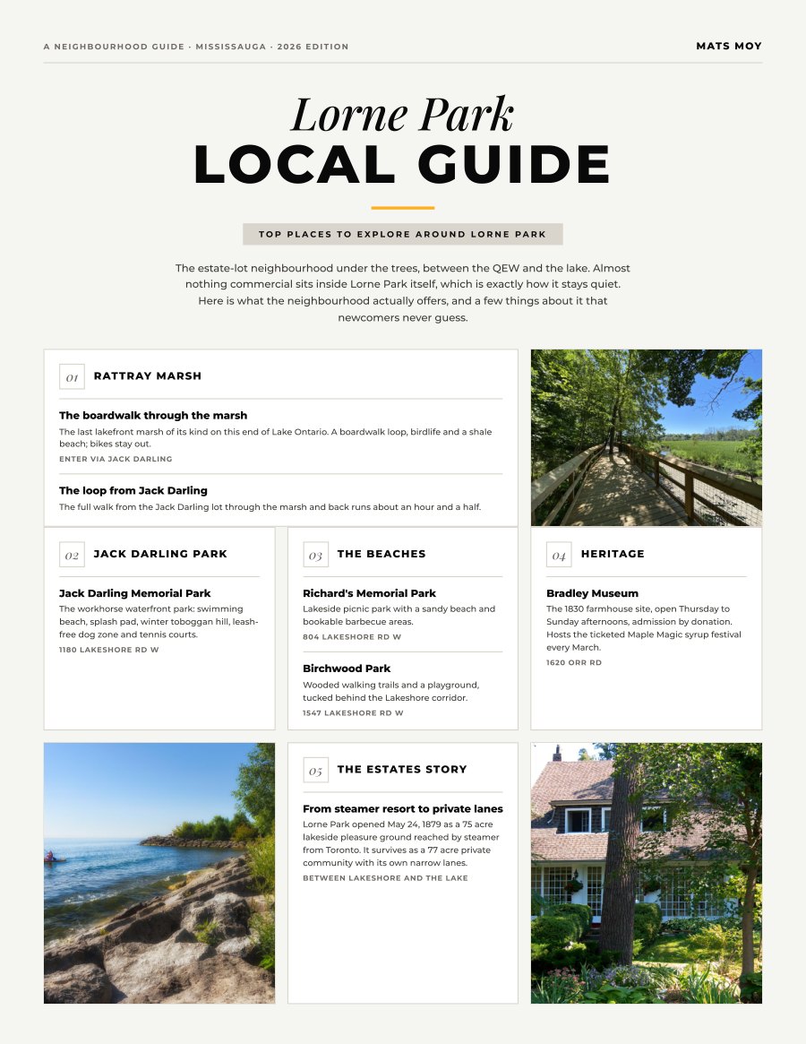
Lorne Park, Mississauga
The local picks plus the mover’s page: what this nearly all-detached market is asking, the commute in real numbers, and the practical file.
Get the guide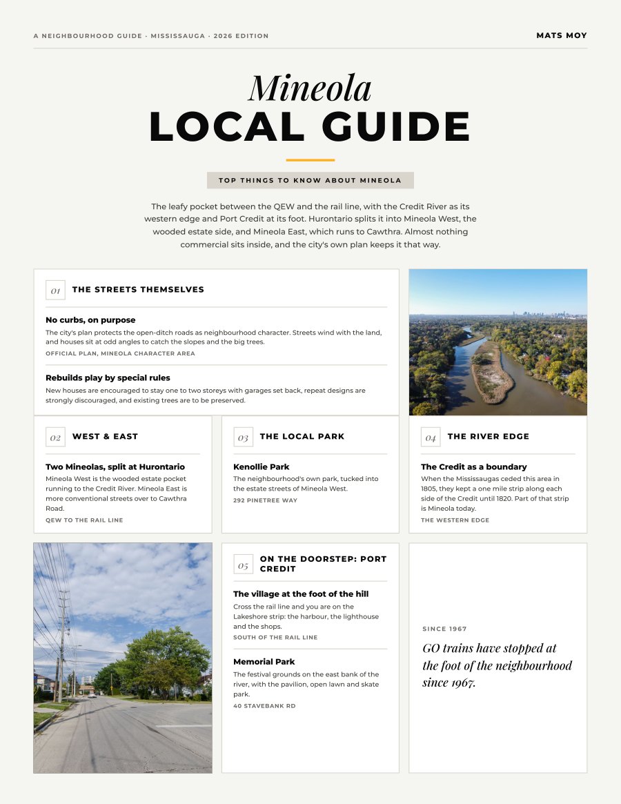
Mineola, Mississauga
The local picks plus the mover’s page: what the estate side of the rail line is asking, the rebuild rules, and Port Credit GO at the foot of the hill.
Get the guide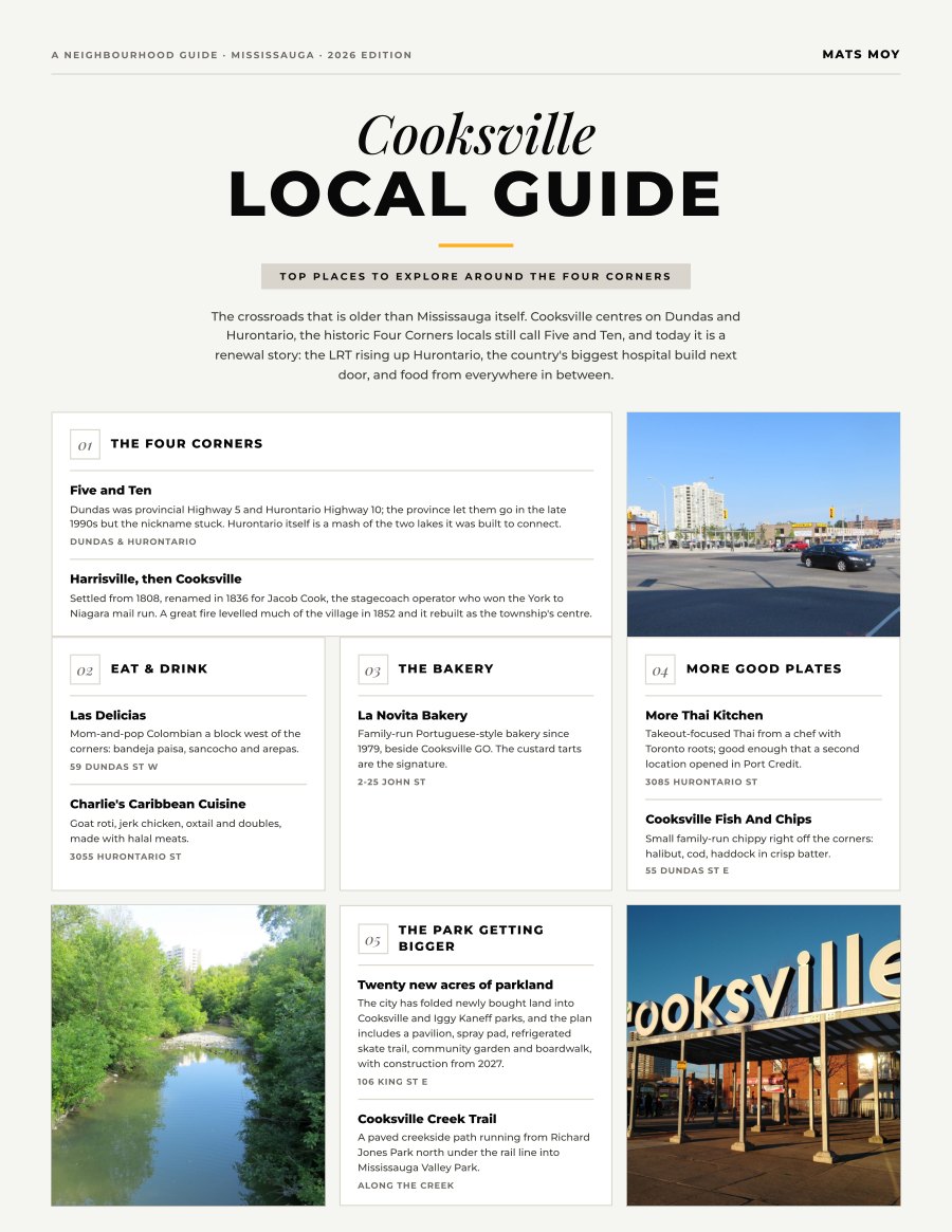
Cooksville, Mississauga
Ten picks around the Four Corners plus the mover’s page: what every home type is asking, the LRT and hospital builds next door, and the practical file.
Get the guide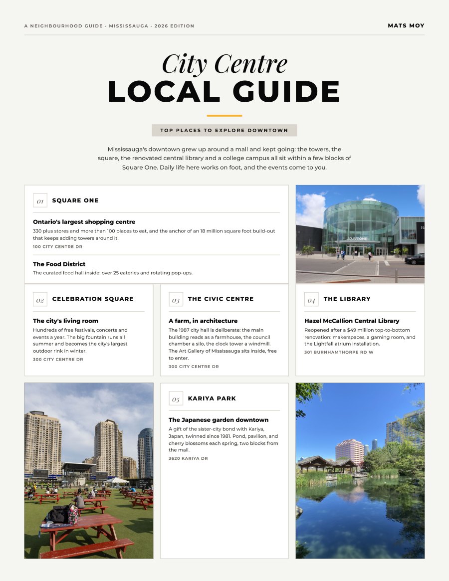
City Centre, Mississauga
Downtown on foot: ten picks around Square One plus the mover’s page, with what the condo market is asking and how the core actually moves.
Get the guide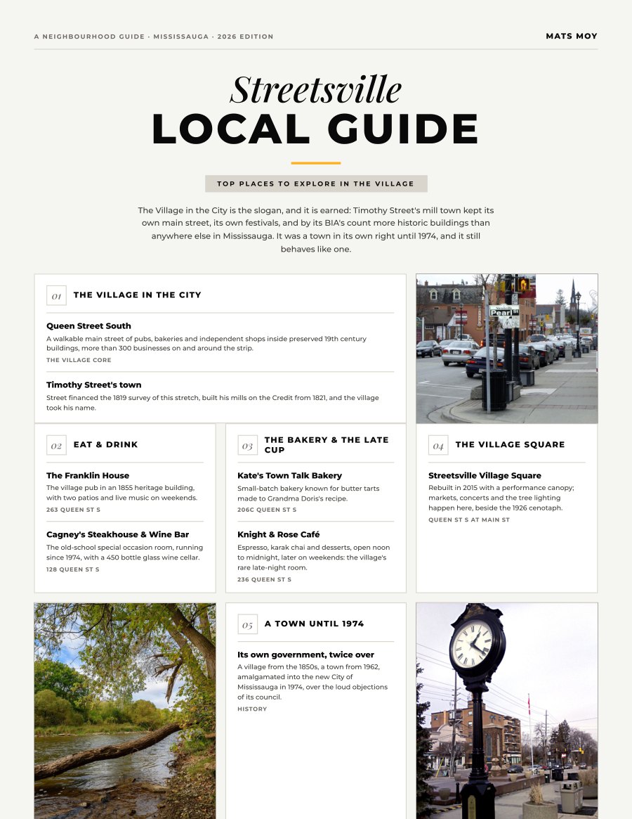
Streetsville, Mississauga
The Village in the City: ten picks on and around Queen Street plus the mover’s page, with village pricing and the honest Milton-line story.
Get the guide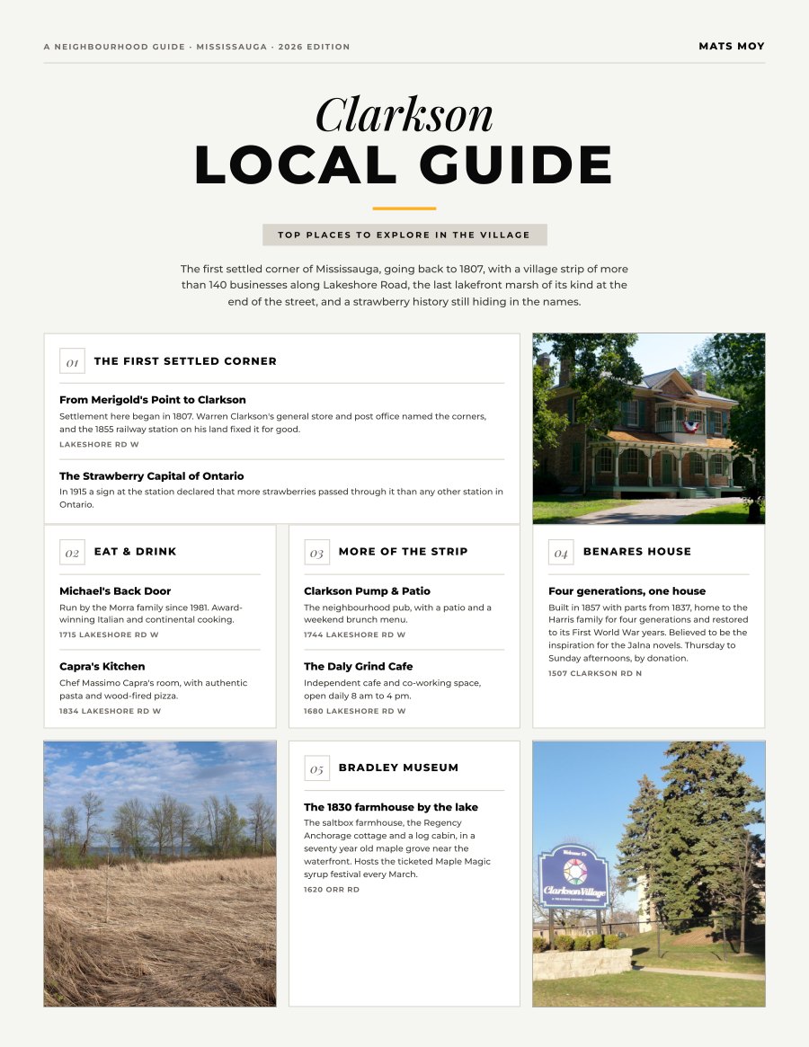
Clarkson, Mississauga
The village strip, the marsh and the all-day GO line: ten picks plus the mover’s page, with the widest price ladder on the lakefront side.
Get the guide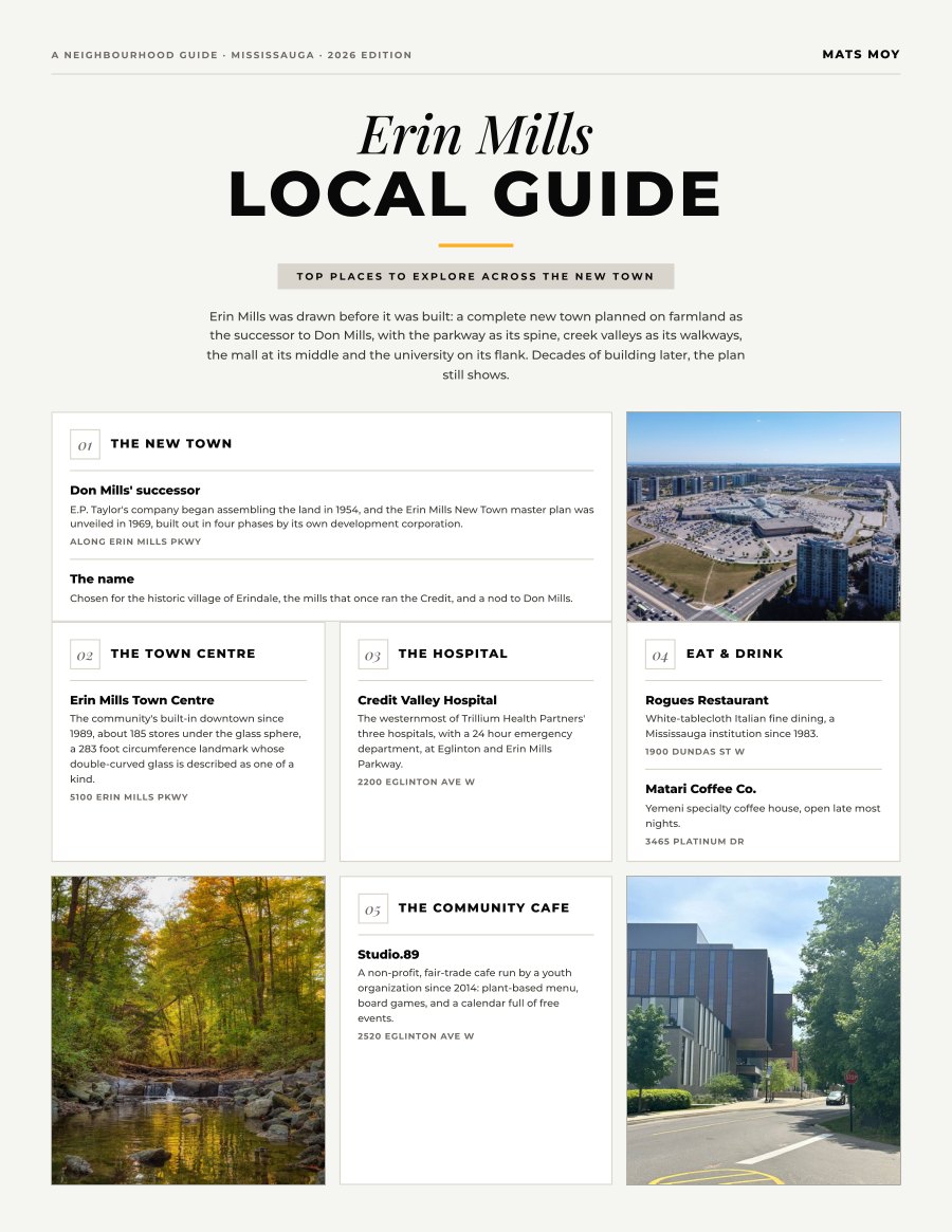
Erin Mills, Mississauga
The planned new town: ten picks plus the mover’s page, with the widest mid-range choice on the west side and the hospital inside the neighbourhood.
Get the guide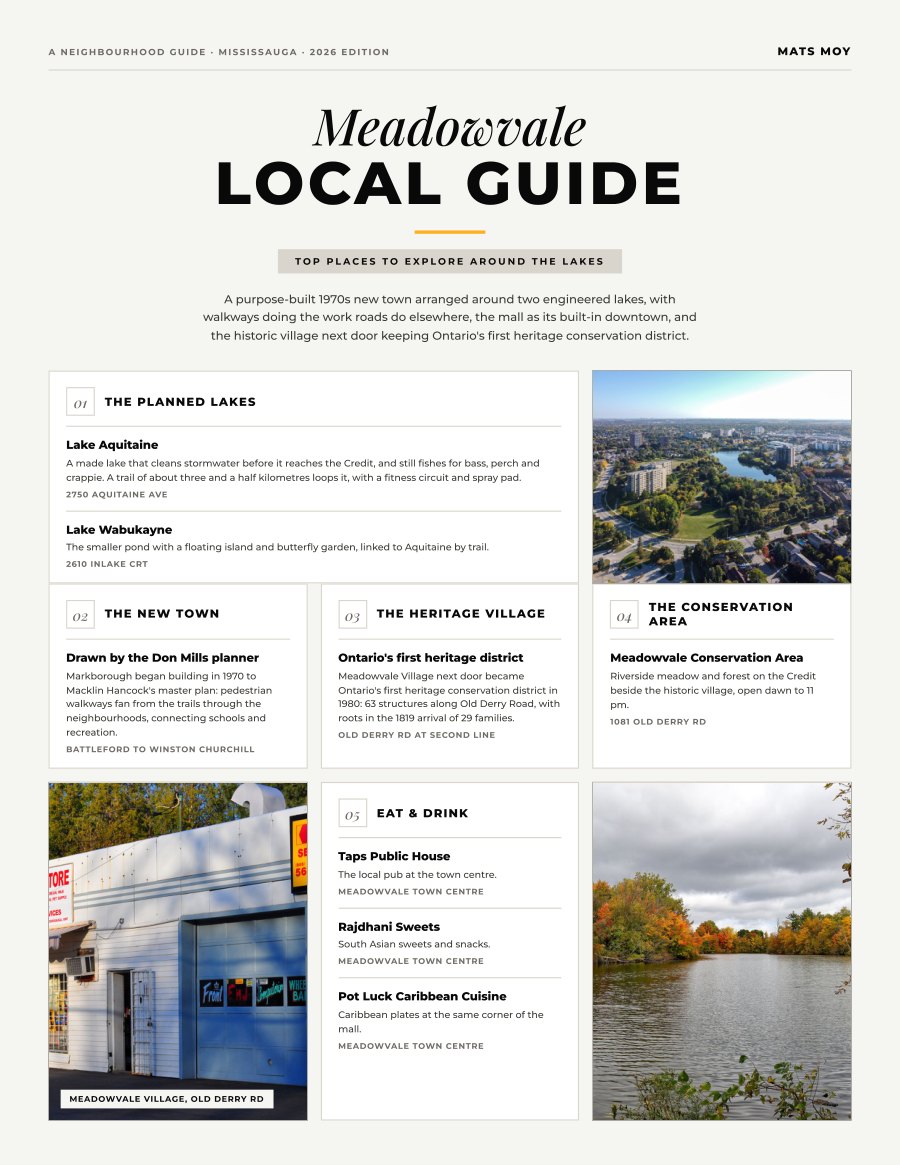
Meadowvale, Mississauga
Two lakes, a walkway system and the best value story on the west side: ten picks plus the mover’s page, with the honest commute math.
Get the guide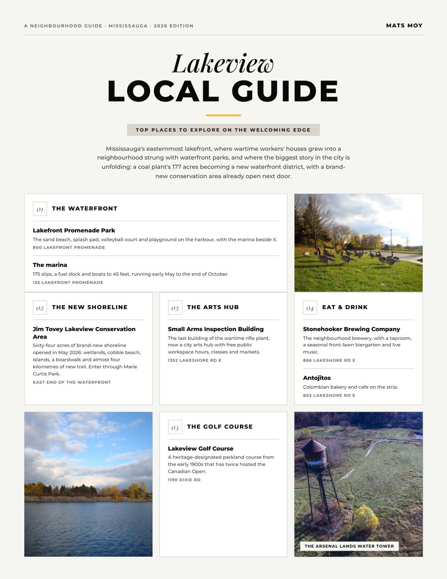
Lakeview, Mississauga
The waterfront that is being rebuilt: ten picks plus the mover’s page, with the Lakeview Village story and the cheapest train fare around.
Get the guide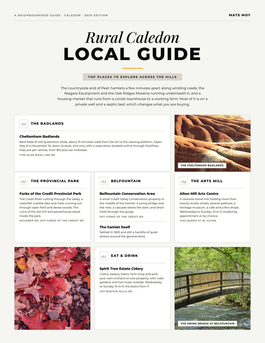
Rural Caledon, Caledon
The countryside end of Peel: ten places across the hamlets plus the mover’s page, with what a farm costs against a townhouse, and what a well and a septic bed actually mean.
Get the guide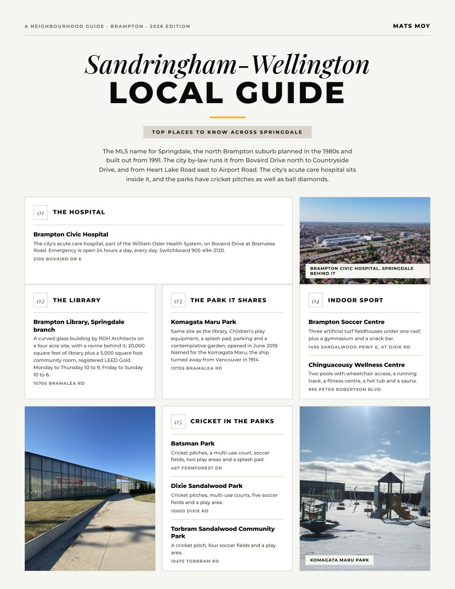
Sandringham-Wellington, Brampton
The MLS name for Springdale, the north Brampton suburb planned in the 1980s and built out from 1991. The city by-law runs it from Bovaird Drive north to Countryside Drive, and from Heart Lake Road east to...
Get the guide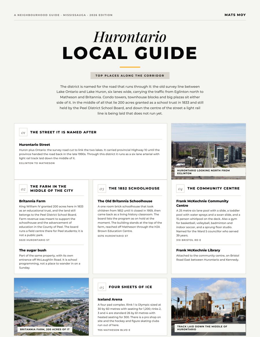
Hurontario, Mississauga
The district is named for the road that runs through it: the old survey line between Lake Ontario and Lake Huron, six lanes wide, carrying the traffic from Eglinton north to Matheson and Britannia. Condo...
Get the guide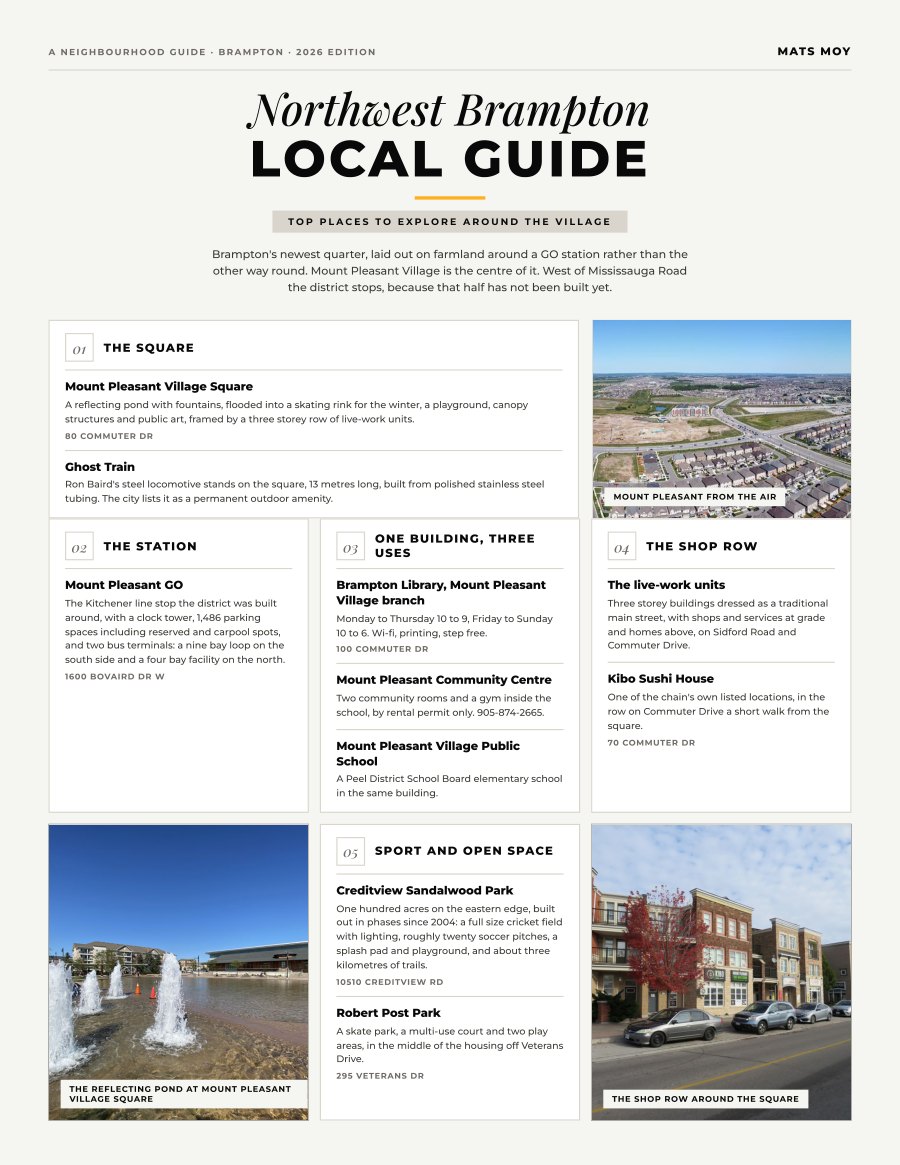
Northwest Brampton, Brampton
Brampton's newest quarter, laid out on farmland around a GO station rather than the other way round. Mount Pleasant Village is the centre of it. West of Mississauga Road the district stops, because that...
Get the guide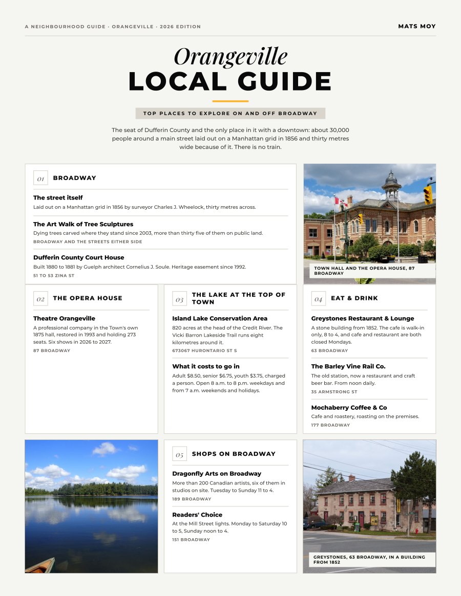
Orangeville, Orangeville
The seat of Dufferin County and the only place in it with a downtown: about 30,000 people around a main street laid out on a Manhattan grid in 1856 and thirty metres wide because of it. There is no train.
Get the guide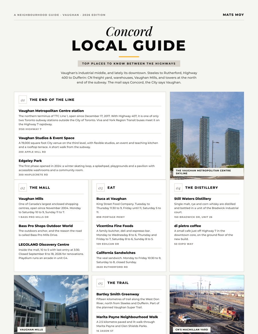
Concord, Vaughan
Vaughan's industrial middle, and lately its downtown. Steeles to Rutherford, Highway 400 to Dufferin: CN freight yard, warehouses, Vaughan Mills, and towers at the north end of the subway. The mail says...
Get the guide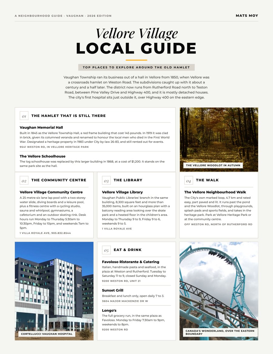
Vellore Village, Vaughan
Vaughan Township ran its business out of a hall in Vellore from 1850, when Vellore was a crossroads hamlet on Weston Road. The subdivisions caught up with it about a century and a half later. The district...
Get the guide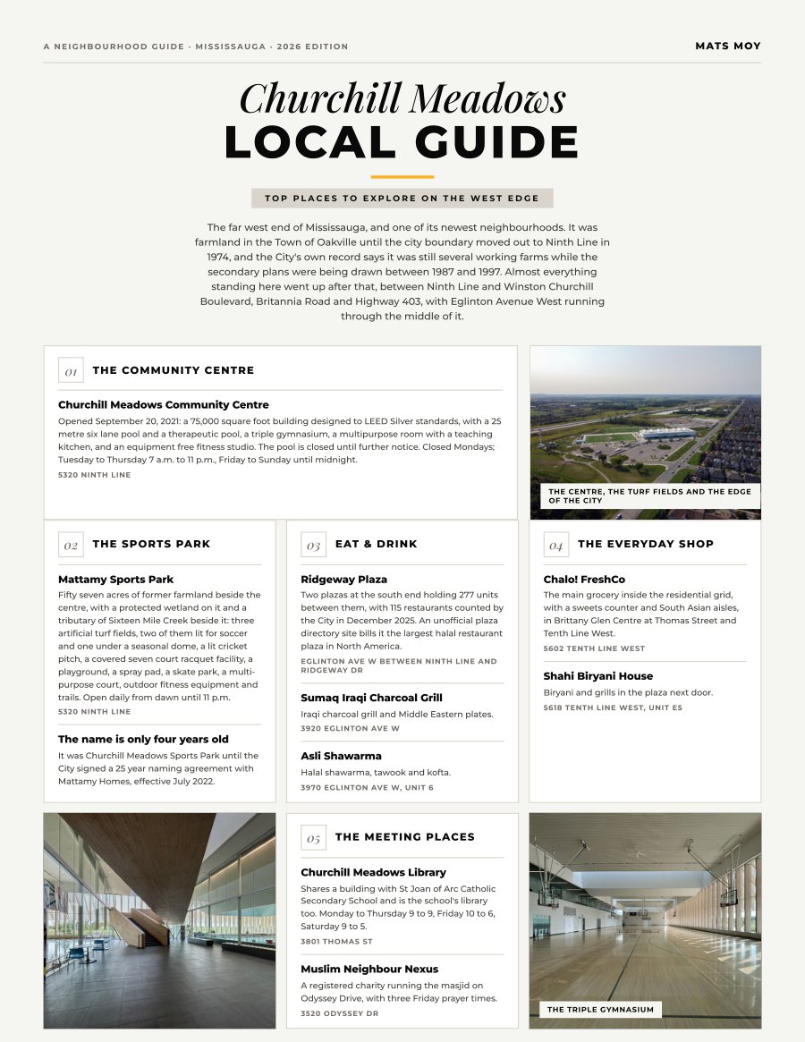
Churchill Meadows, Mississauga
The far west end of Mississauga, and one of its newest neighbourhoods. It was farmland in the Town of Oakville until the city boundary moved out to Ninth Line in 1974, and the City's own record says it was...
Get the guide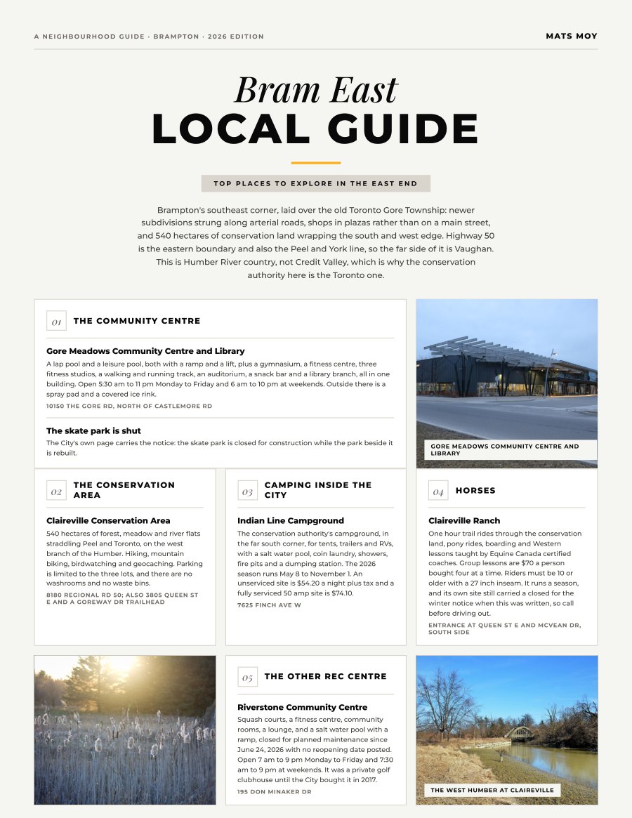
Bram East, Brampton
Brampton's southeast corner, laid over the old Toronto Gore Township: newer subdivisions strung along arterial roads, shops in plazas rather than on a main street, and 540 hectares of conservation land...
Get the guide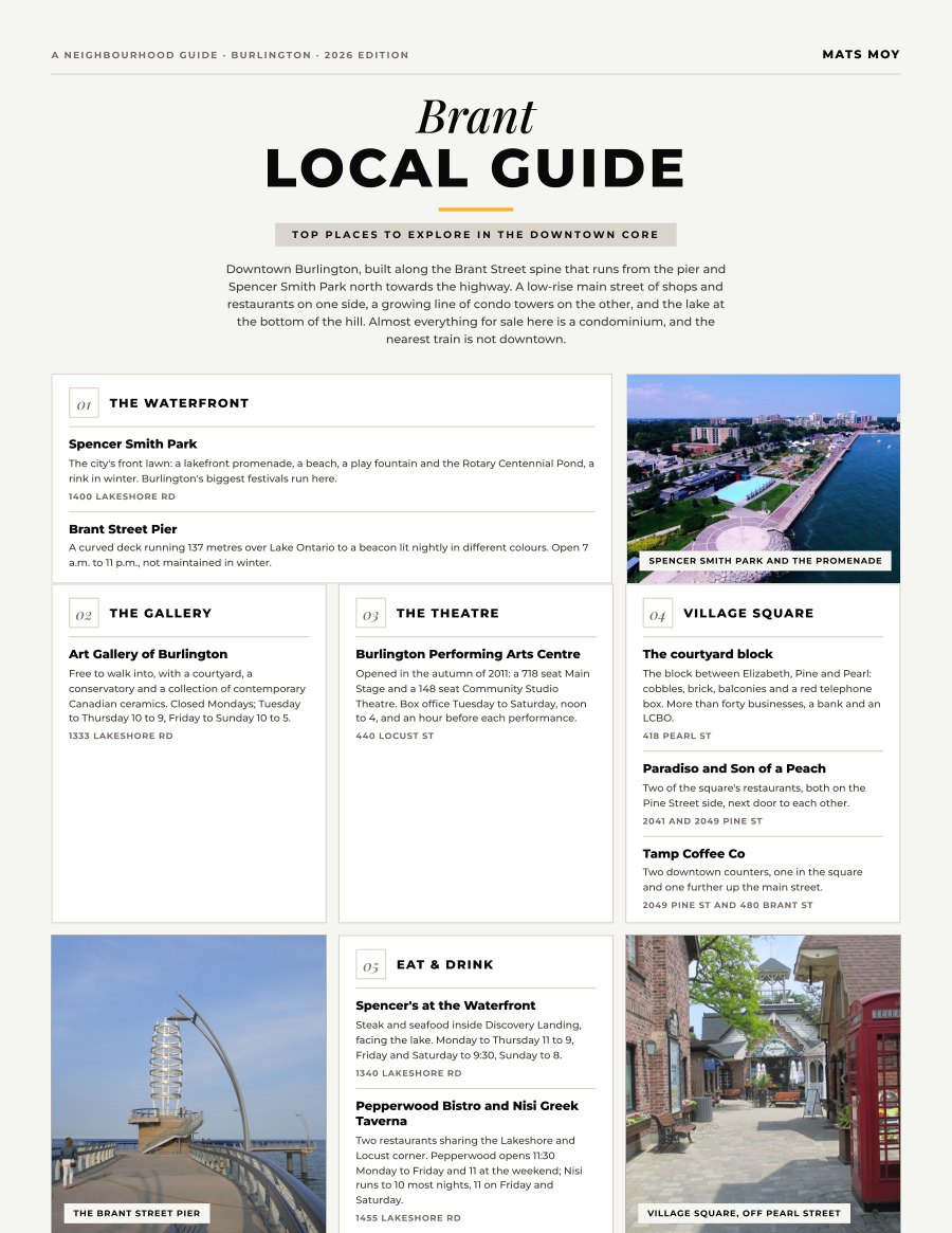
Brant, Burlington
Downtown Burlington, built along the Brant Street spine that runs from the pier and Spencer Smith Park north towards the highway. A low-rise main street of shops and restaurants on one side, a growing line...
Get the guide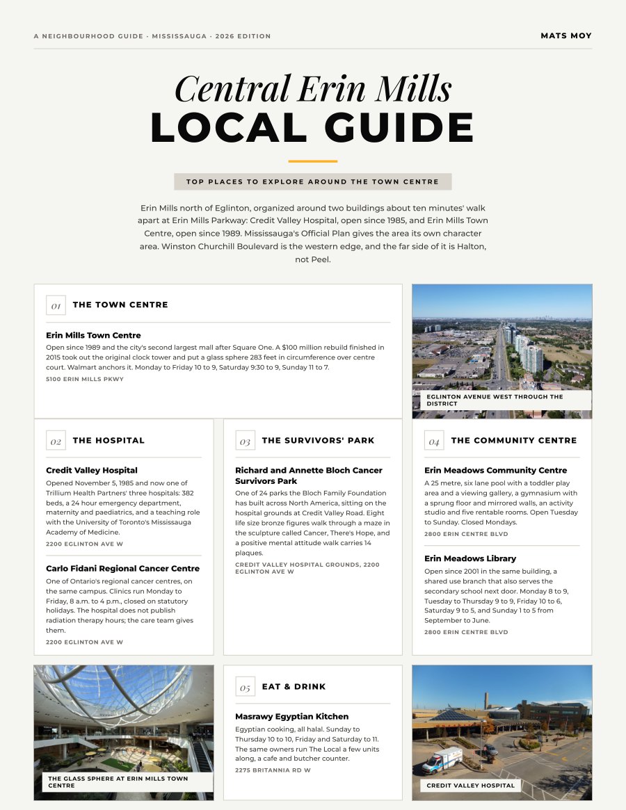
Central Erin Mills, Mississauga
Erin Mills north of Eglinton, organized around two buildings about ten minutes' walk apart at Erin Mills Parkway: Credit Valley Hospital, open since 1985, and Erin Mills Town Centre, open since 1989....
Get the guide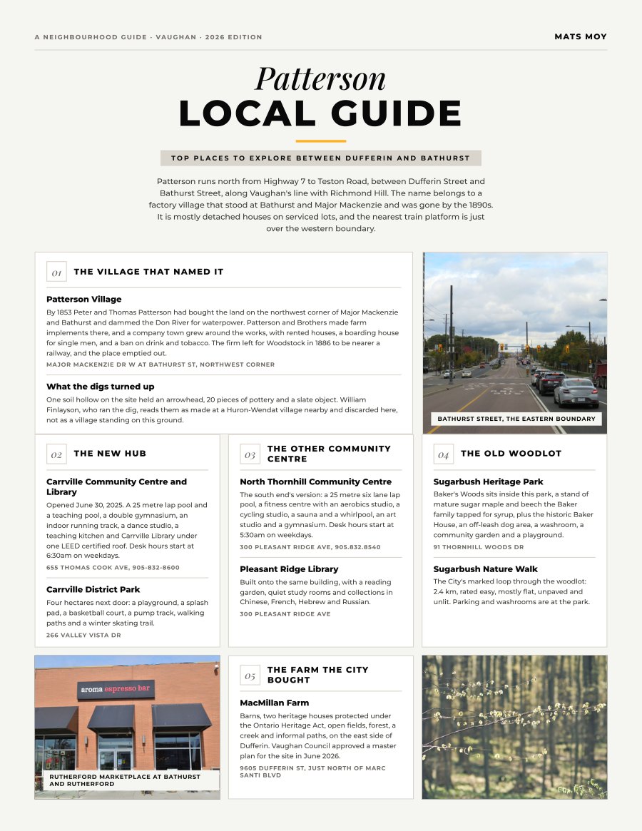
Patterson, Vaughan
Patterson runs north from Highway 7 to Teston Road, between Dufferin Street and Bathurst Street, along Vaughan's line with Richmond Hill. The name belongs to a factory village that stood at Bathurst and...
Get the guide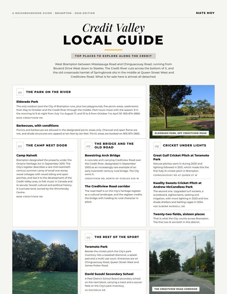
Credit Valley, Brampton
West Brampton between Mississauga Road and Chinguacousy Road, running from Bovaird Drive West down to Steeles. The Credit River cuts across the bottom of it, and the old crossroads hamlet of Springbrook...
Get the guide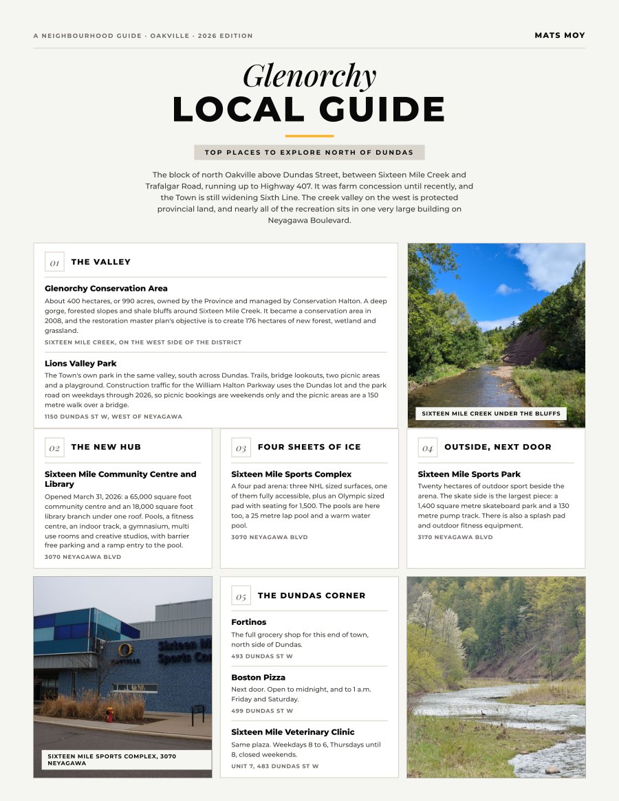
Glenorchy, Oakville
The block of north Oakville above Dundas Street, between Sixteen Mile Creek and Trafalgar Road, running up to Highway 407. It was farm concession until recently, and the Town is still widening Sixth Line....
Get the guide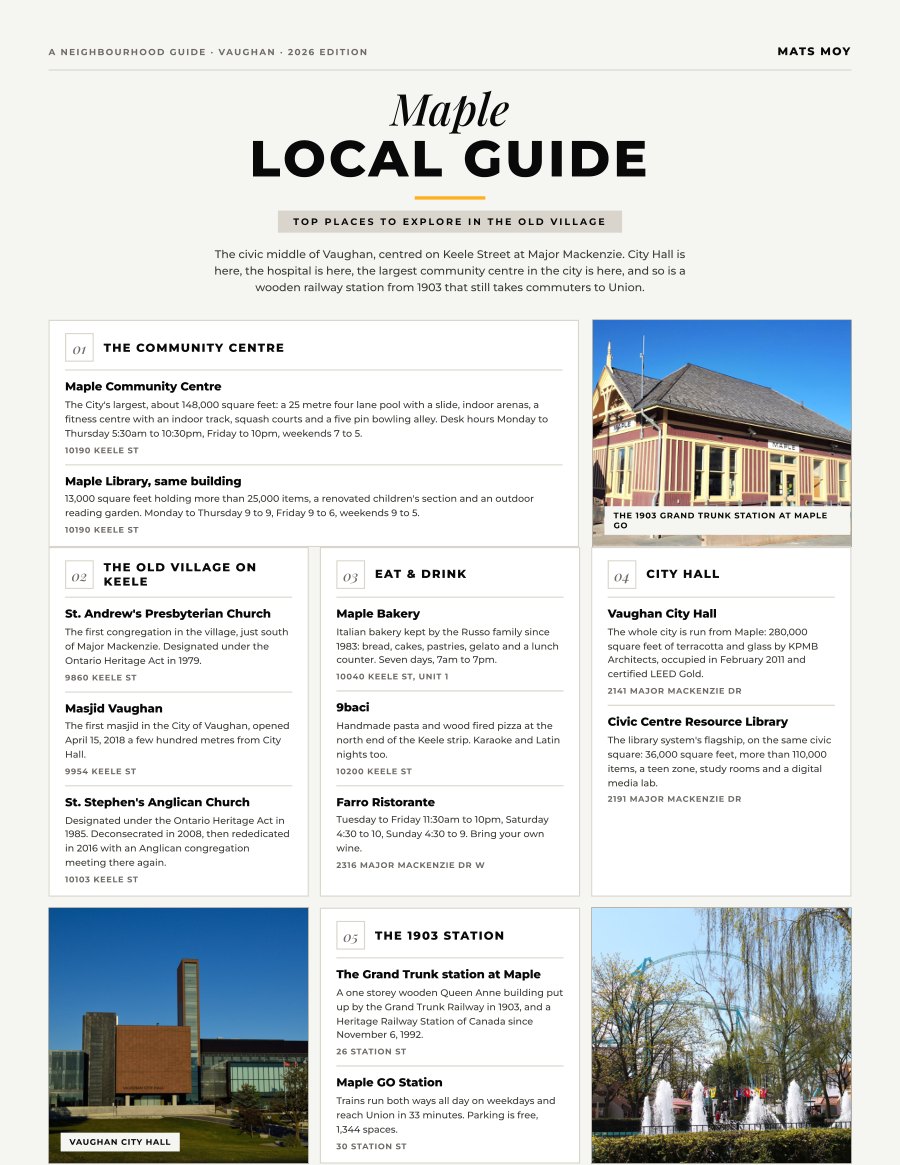
Maple, Vaughan
The civic middle of Vaughan, centred on Keele Street at Major Mackenzie. City Hall is here, the hospital is here, the largest community centre in the city is here, and so is a wooden railway station from...
Get the guide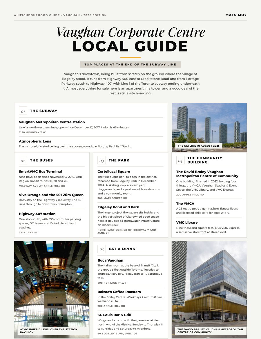
Vaughan Corporate Centre, Vaughan
Vaughan's downtown, being built from scratch on the ground where the village of Edgeley stood. It runs from Highway 400 east to Creditstone Road and from Portage Parkway south to Highway 407, with Line 1 of...
Get the guide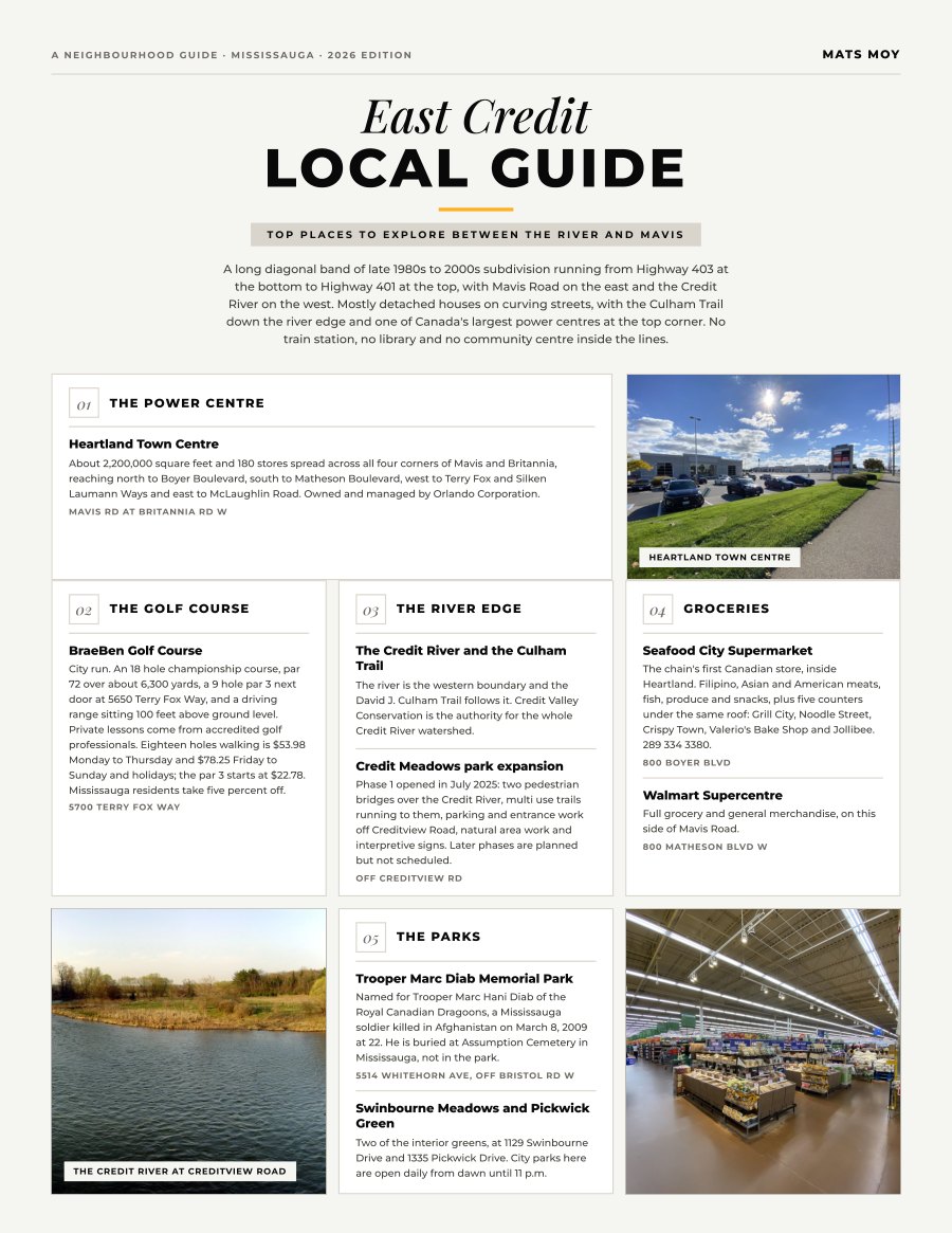
East Credit, Mississauga
A long diagonal band of late 1980s to 2000s subdivision running from Highway 403 at the bottom to Highway 401 at the top, with Mavis Road on the east and the Credit River on the west. Mostly detached houses...
Get the guide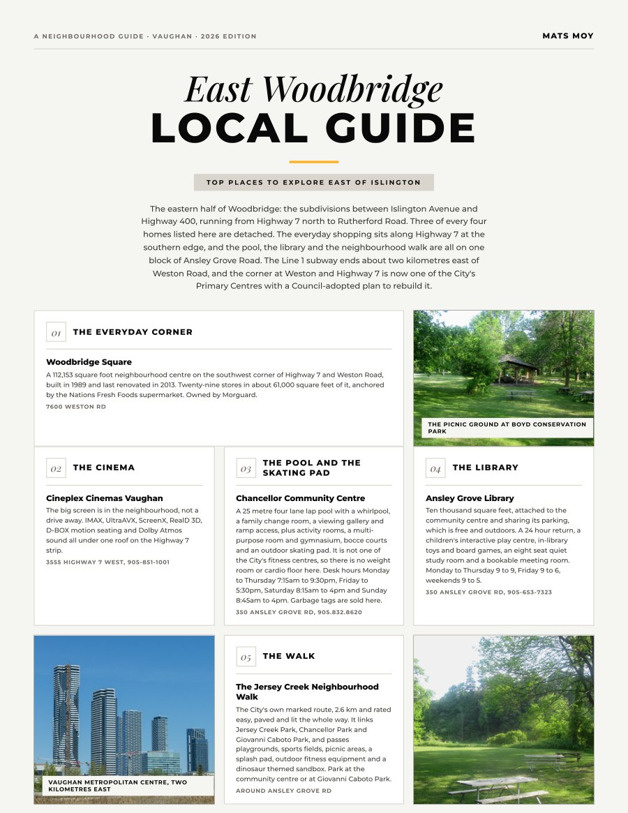
East Woodbridge, Vaughan
The eastern half of Woodbridge: the subdivisions between Islington Avenue and Highway 400, running from Highway 7 north to Rutherford Road. Three of every four homes listed here are detached. The everyday...
Get the guide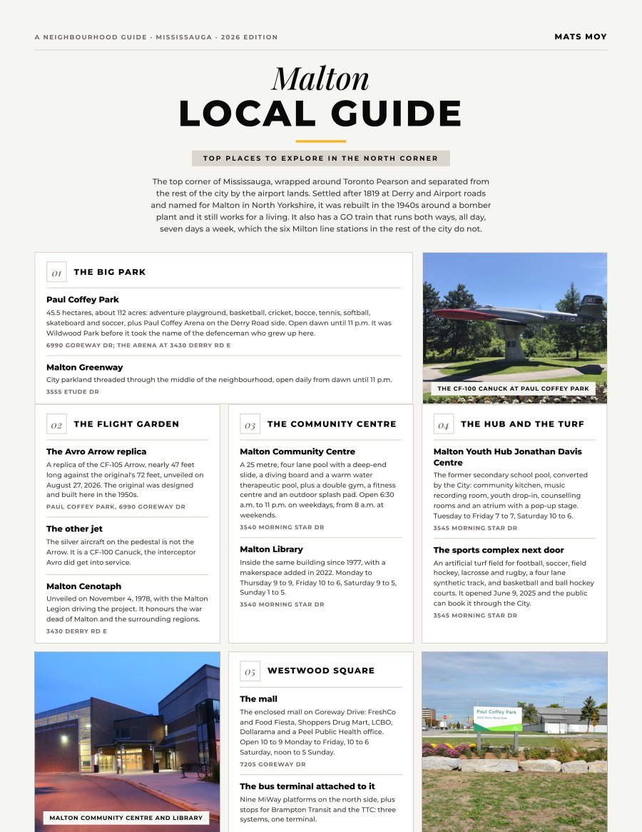
Malton, Mississauga
The top corner of Mississauga, wrapped around Toronto Pearson and separated from the rest of the city by the airport lands. Settled after 1819 at Derry and Airport roads and named for Malton in North...
Get the guide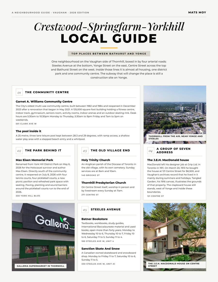
Crestwood-Springfarm-Yorkhill, Vaughan
One neighbourhood on the Vaughan side of Thornhill, boxed in by four arterial roads: Steeles Avenue at the bottom, Yonge Street on the east, Centre Street across the top and Bathurst Street on the west....
Get the guide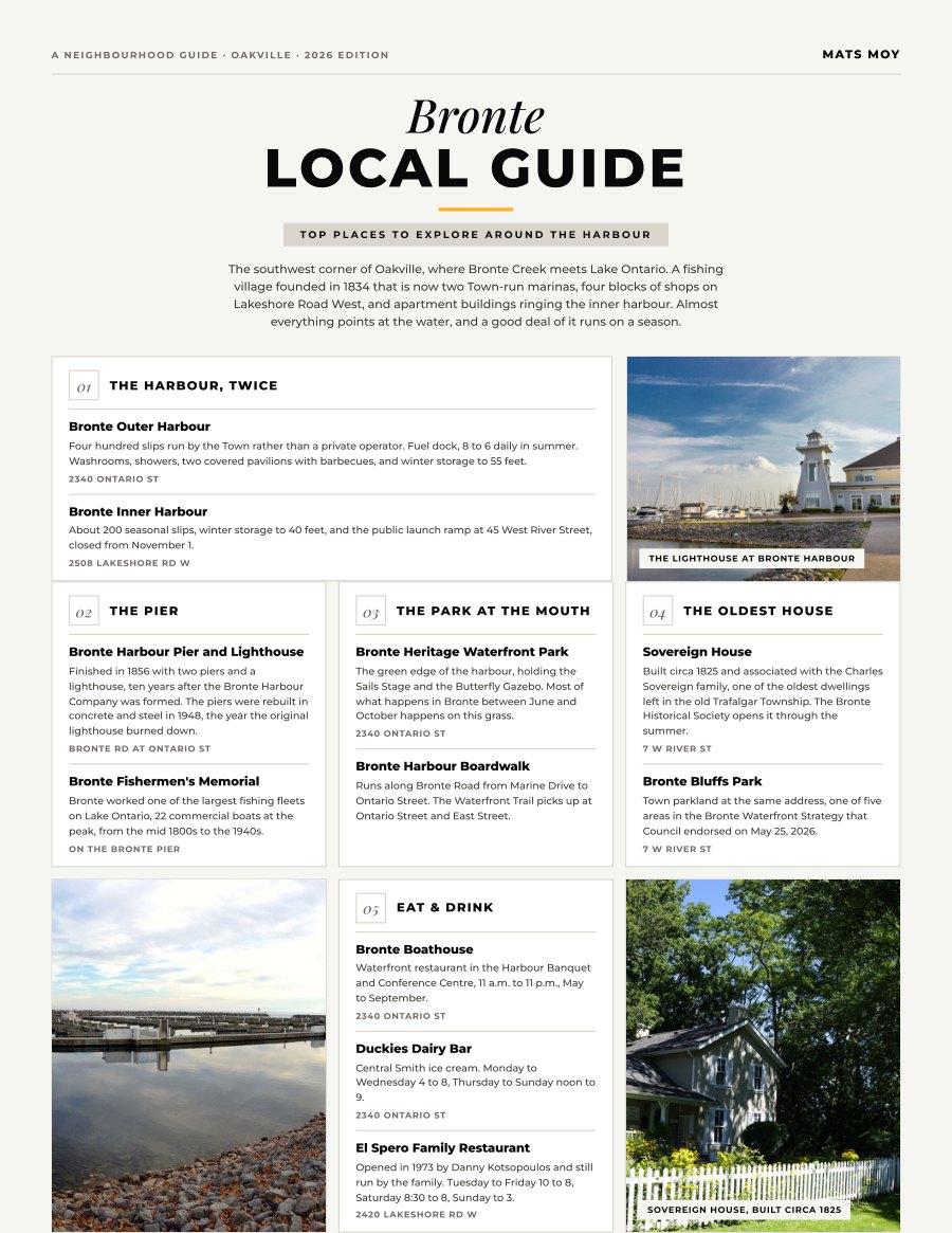
Bronte, Oakville
The southwest corner of Oakville, where Bronte Creek meets Lake Ontario. A fishing village founded in 1834 that is now two Town-run marinas, four blocks of shops on Lakeshore Road West, and apartment...
Get the guide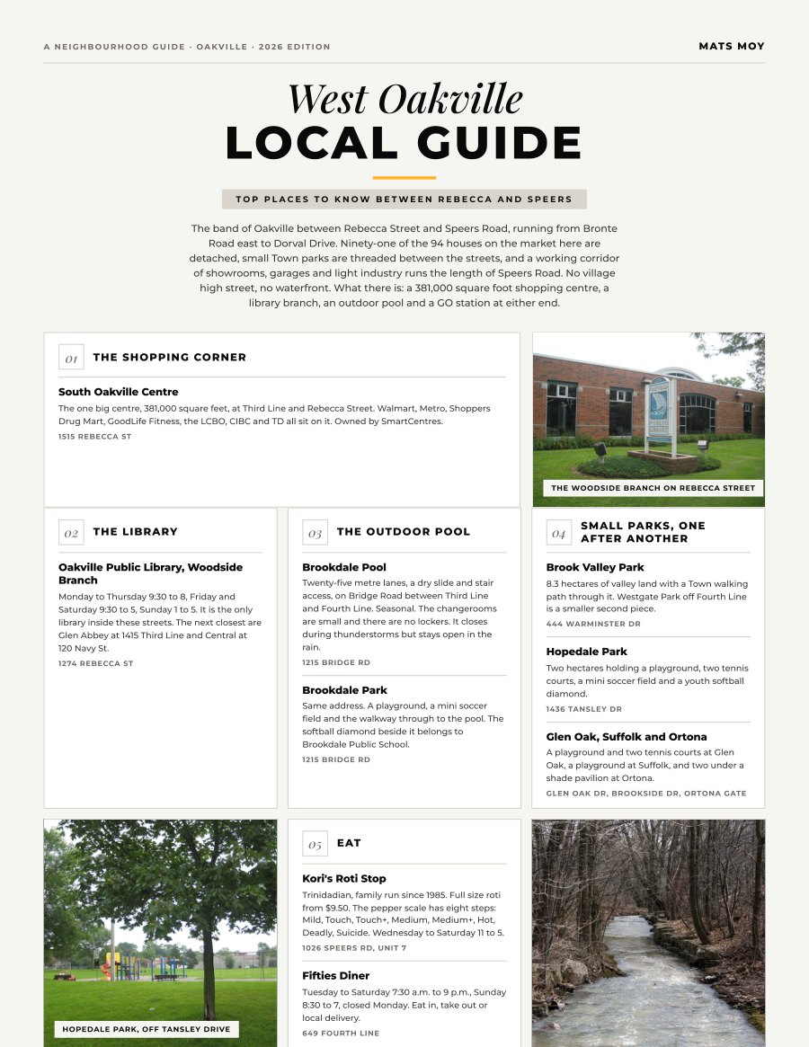
West Oakville, Oakville
The band of Oakville between Rebecca Street and Speers Road, running from Bronte Road east to Dorval Drive. Ninety-one of the 94 houses on the market here are detached, small Town parks are threaded between...
Get the guide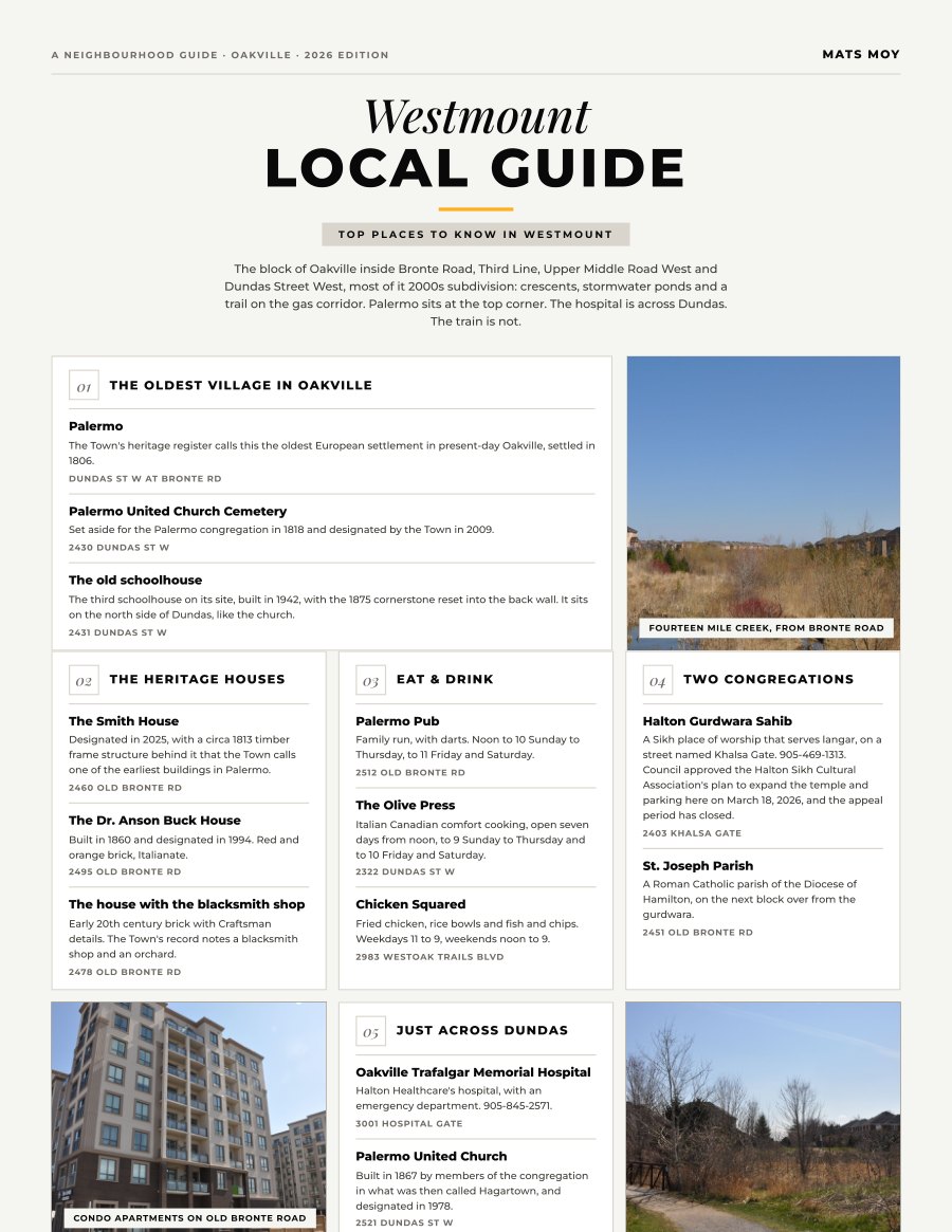
Westmount, Oakville
The block of Oakville inside Bronte Road, Third Line, Upper Middle Road West and Dundas Street West, most of it 2000s subdivision: crescents, stormwater ponds and a trail on the gas corridor. Palermo sits...
Get the guide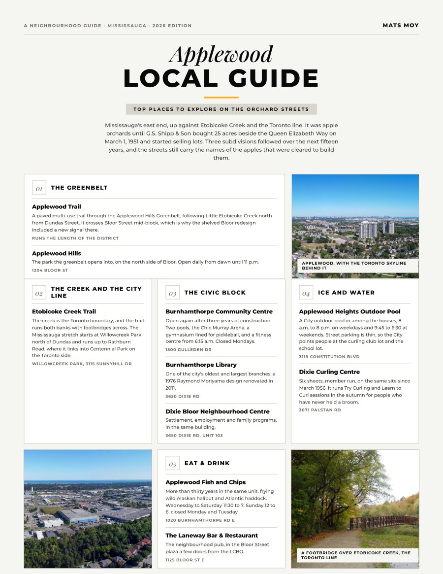
Applewood, Mississauga
Mississauga's east end, up against Etobicoke Creek and the Toronto line. It was apple orchards until G.S. Shipp & Son bought 25 acres beside the Queen Elizabeth Way on March 1, 1951 and started selling...
Get the guide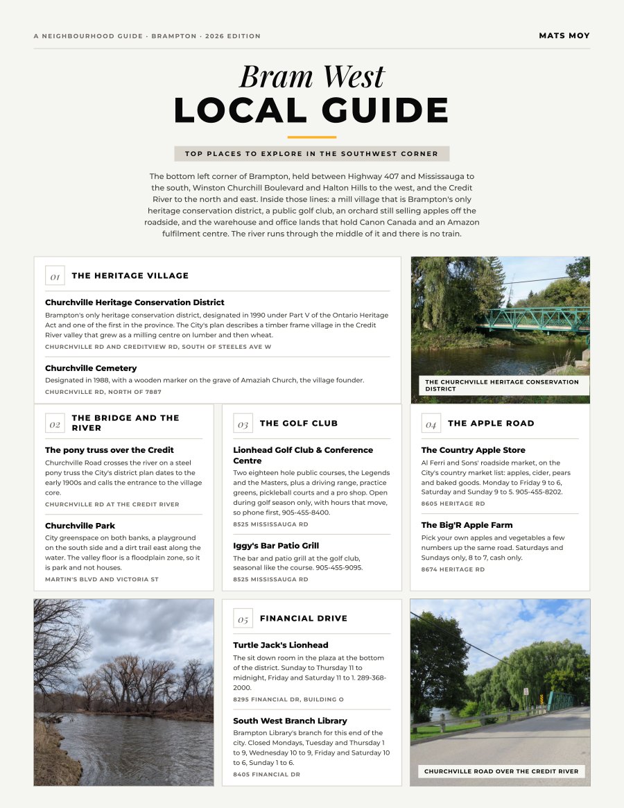
Bram West, Brampton
The bottom left corner of Brampton, held between Highway 407 and Mississauga to the south, Winston Churchill Boulevard and Halton Hills to the west, and the Credit River to the north and east. Inside those...
Get the guide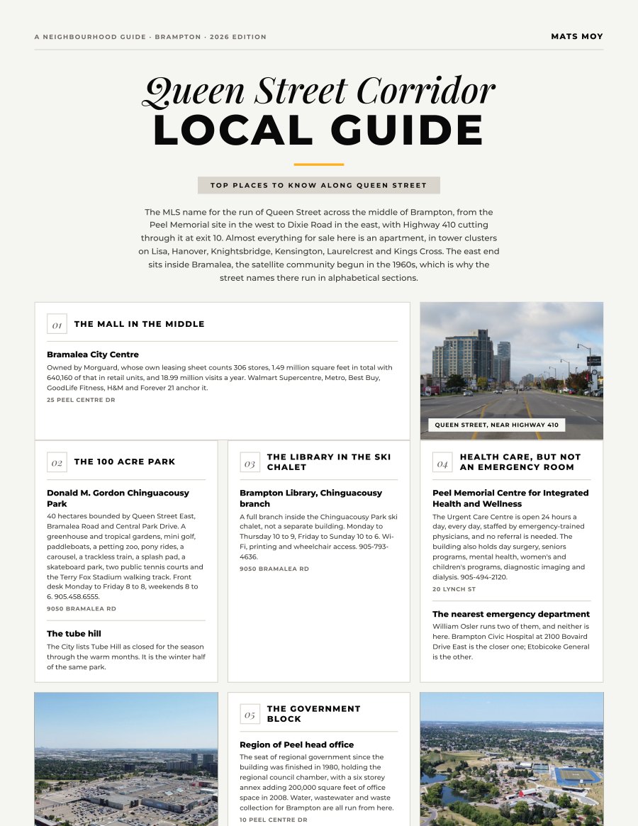
Queen Street Corridor, Brampton
The MLS name for the run of Queen Street across the middle of Brampton, from the Peel Memorial site in the west to Dixie Road in the east, with Highway 410 cutting through it at exit 10. Almost everything...
Get the guide
Kleinburg, Vaughan
A 19th century milling village inside the City of Vaughan, sitting on a narrow ridge between two branches of the Humber River. The whole commercial core is one street of converted heritage houses, and open...
Get the guide
River Oaks, Oakville
The block of central Oakville between Sixteen Mile Creek and Trafalgar Road, north of Upper Middle Road and south of Dundas Street. Inside it: curving subdivision streets built around one community centre,...
Get the guide
Rural Halton Hills, Halton Hills
Everything in Halton Hills that is not Georgetown, Acton, Glen Williams, Limehouse or Stewarttown, because the MLS counts each of those as its own district. What is left is the escarpment, the headwaters of...
Get the guide
Joshua Meadows, Oakville
The wedge of north Oakville above Dundas Street East, east of Trafalgar Road and west of Ninth Line, running up past Burnhamthorpe towards Highway 407. Nearly all of it was farmland a decade ago. It has...
Get the guide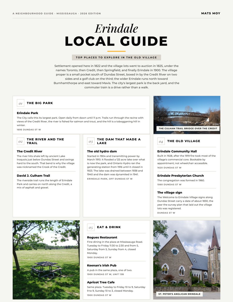
Erindale, Mississauga
Settlement opened here in 1822 and the village lots went to auction in 1825, under the names Toronto, then Credit, then Springfield, and finally Erindale in 1900. The village proper is a small pocket south...
Get the guide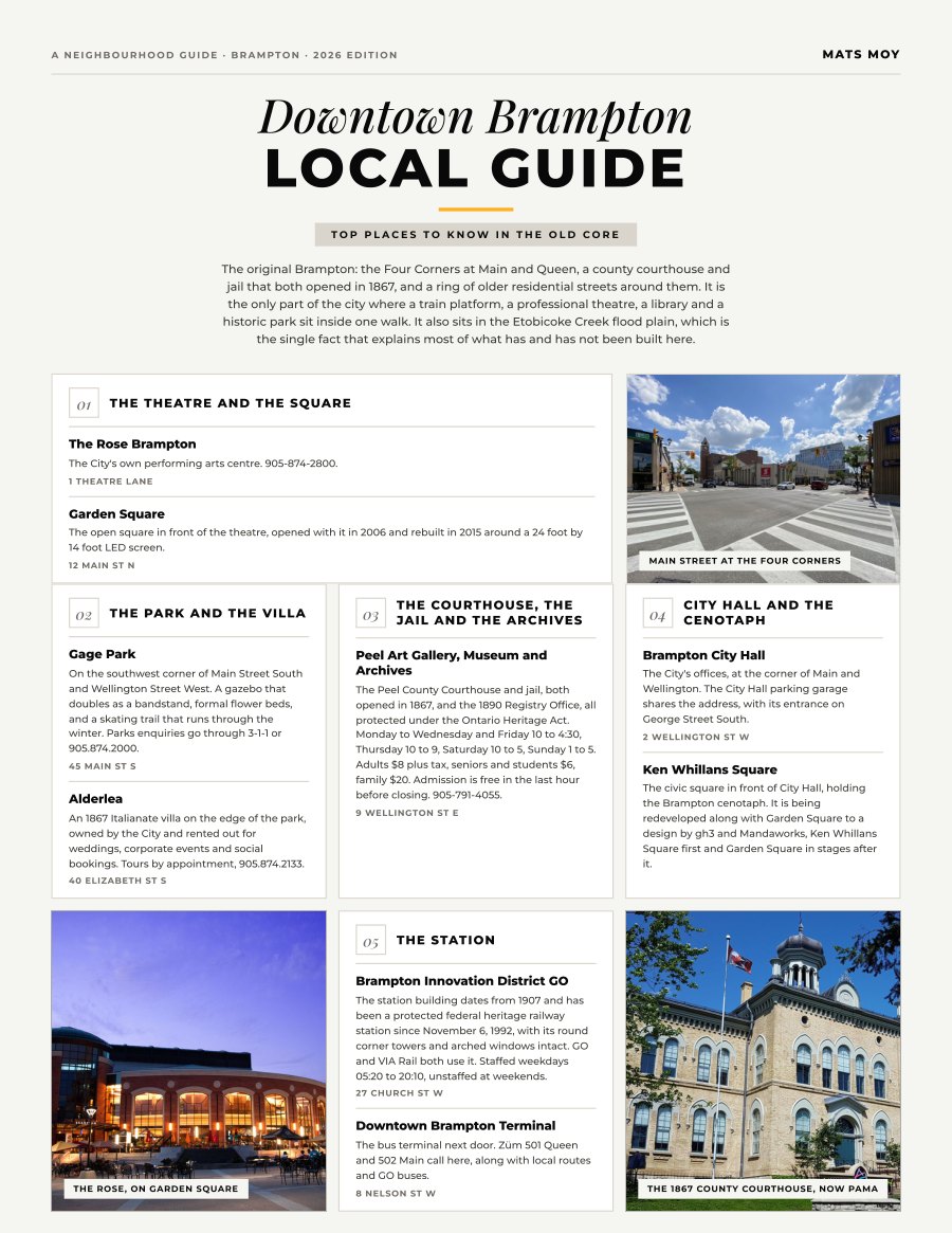
Downtown Brampton, Brampton
The original Brampton: the Four Corners at Main and Queen, a county courthouse and jail that both opened in 1867, and a ring of older residential streets around them. It is the only part of the city where a...
Get the guide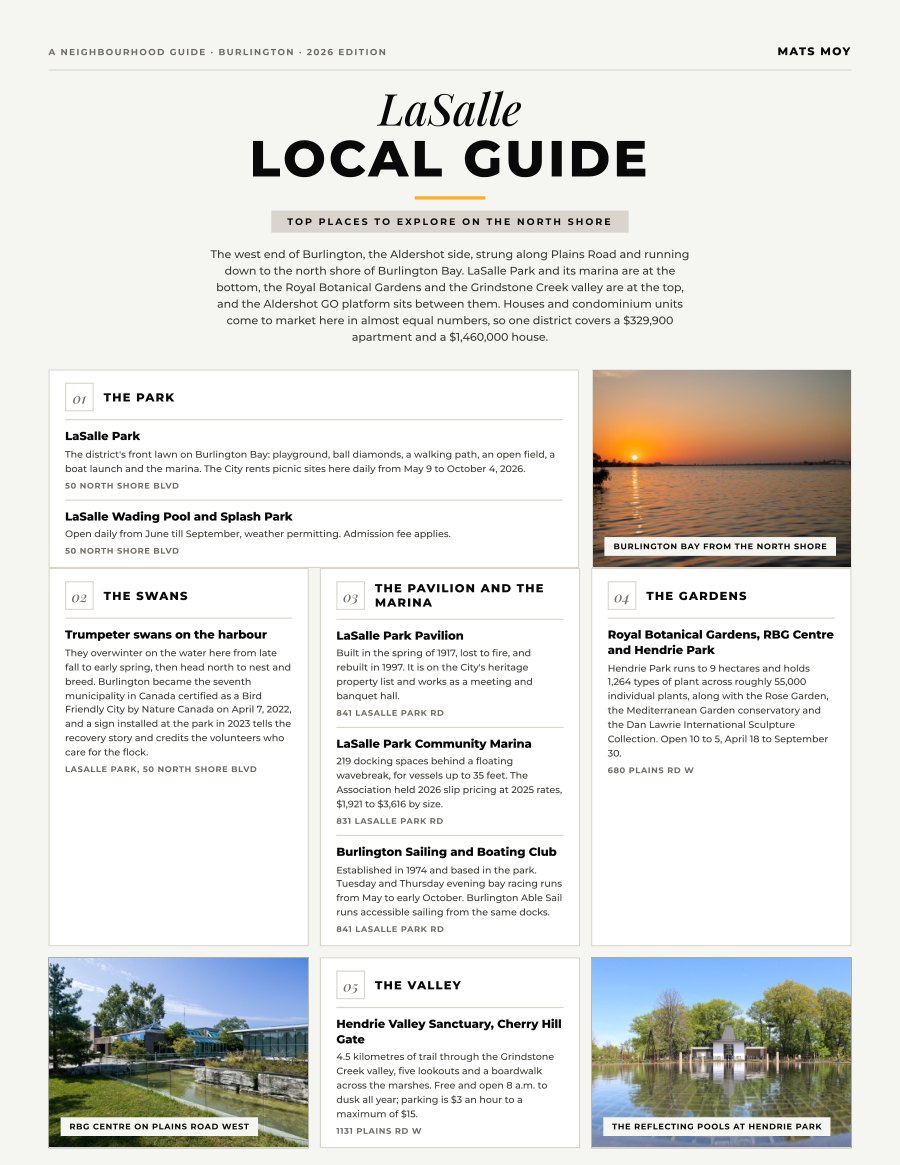
LaSalle, Burlington
The west end of Burlington, the Aldershot side, strung along Plains Road and running down to the north shore of Burlington Bay. LaSalle Park and its marina are at the bottom, the Royal Botanical Gardens and...
Get the guide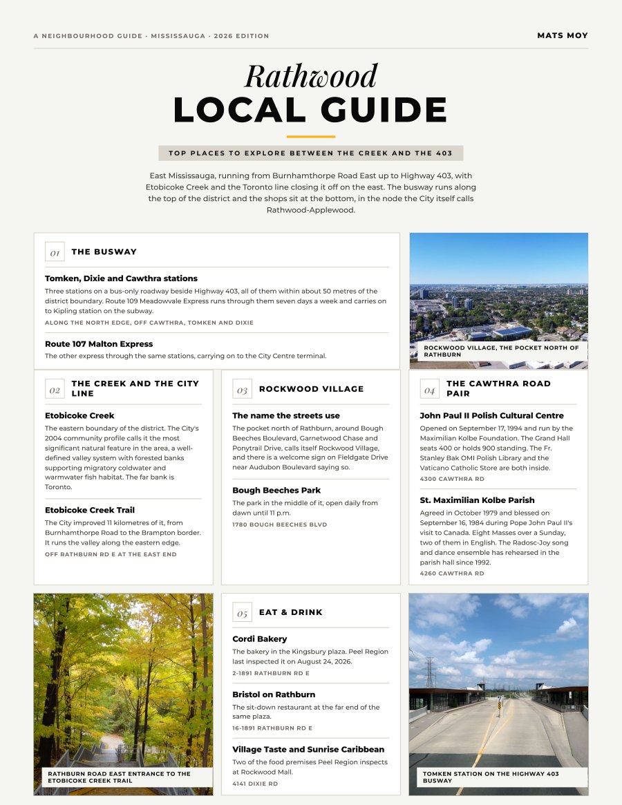
Rathwood, Mississauga
East Mississauga, running from Burnhamthorpe Road East up to Highway 403, with Etobicoke Creek and the Toronto line closing it off on the east. The busway runs along the top of the district and the shops...
Get the guide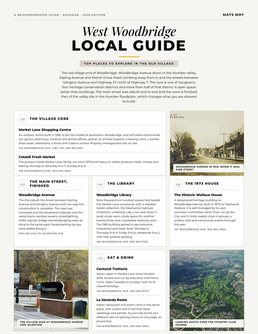
West Woodbridge, Vaughan
The old village end of Woodbridge: Woodbridge Avenue down in the Humber valley, Kipling Avenue and Martin Grove Road climbing away from it, and the streets between Islington Avenue and Highway 27 north of...
Get the guide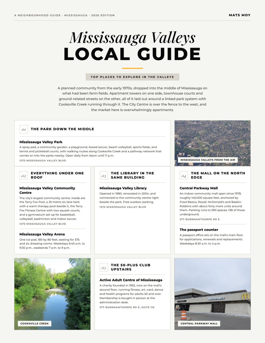
Mississauga Valleys, Mississauga
A planned community from the early 1970s, dropped into the middle of Mississauga on what had been farm fields. Apartment towers on one side, townhouse courts and ground-related streets on the other, all of...
Get the guide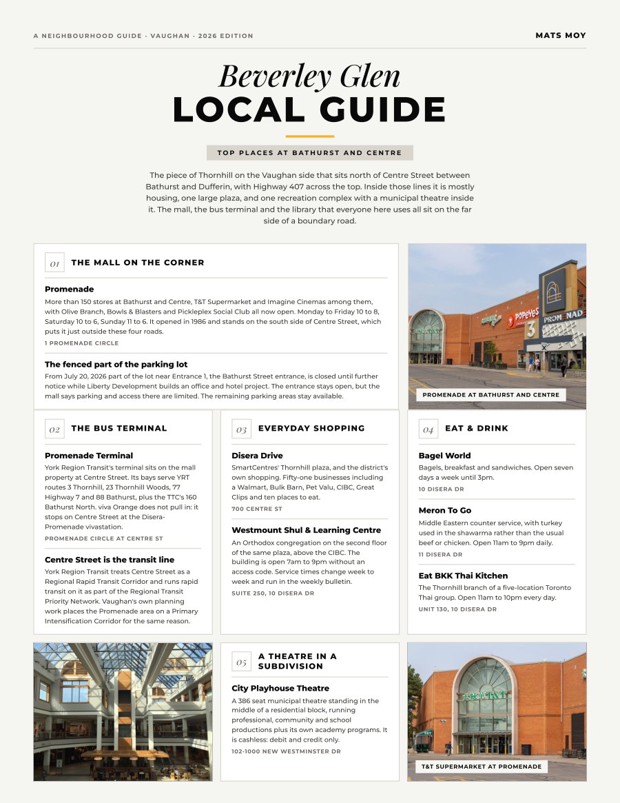
Beverley Glen, Vaughan
The piece of Thornhill on the Vaughan side that sits north of Centre Street between Bathurst and Dufferin, with Highway 407 across the top. Inside those lines it is mostly housing, one large plaza, and one...
Get the guide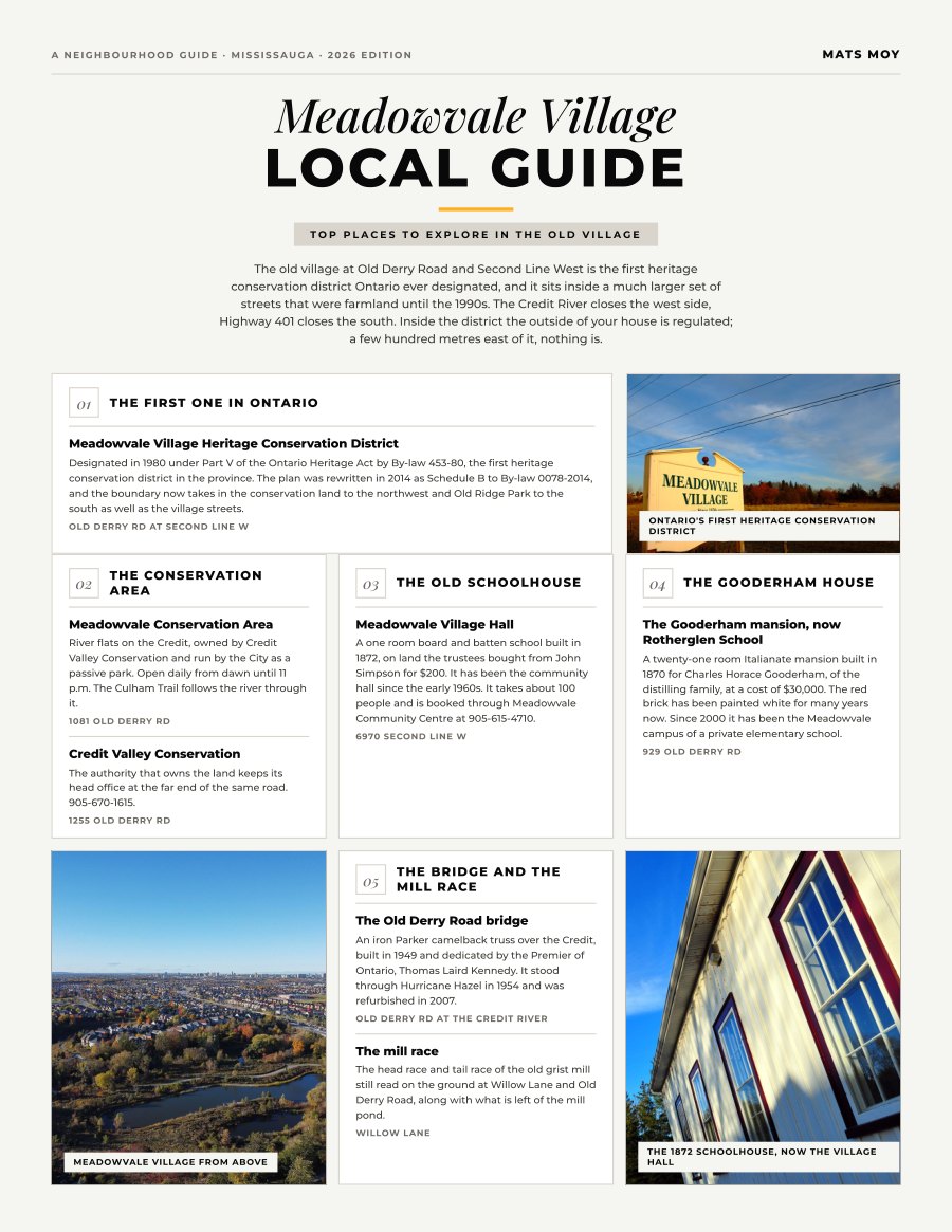
Meadowvale Village, Mississauga
The old village at Old Derry Road and Second Line West is the first heritage conservation district Ontario ever designated, and it sits inside a much larger set of streets that were farmland until the...
Get the guide
Madoc, Brampton
The MLS district between Kennedy Road North and Highway 410, running from Queen Street East up to Bovaird Drive East. It is houses and very little else: streets of semis and detached either side of Vodden...
Get the guide
Sheridan, Mississauga
The City's own map runs Sheridan from Winston Churchill Boulevard east to the Credit River, and from Dundas Street West south to the QEW, with the Sheridan Park research lands cut out of the southwest...
Get the guide
Morrison, Oakville
The corner of Oakville between Chartwell Road and Maple Grove Drive, running from Cornwall Road down to Lake Ontario. The Town's own heritage record describes what happened here in one line: farmland that...
Get the guide
Appleby, Burlington
East Burlington, built either side of Appleby Line between the lake and the highway, with Appleby GO inside the district. The market splits four ways: detached, freehold townhouse, condo townhouse and condo...
Get the guide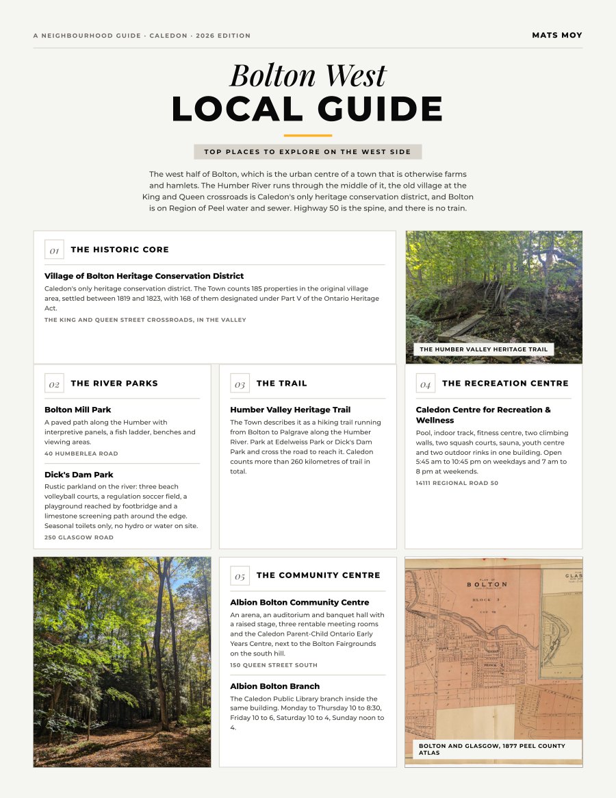
Bolton West, Caledon
The west half of Bolton, which is the urban centre of a town that is otherwise farms and hamlets. The Humber River runs through the middle of it, the old village at the King and Queen crossroads is...
Get the guide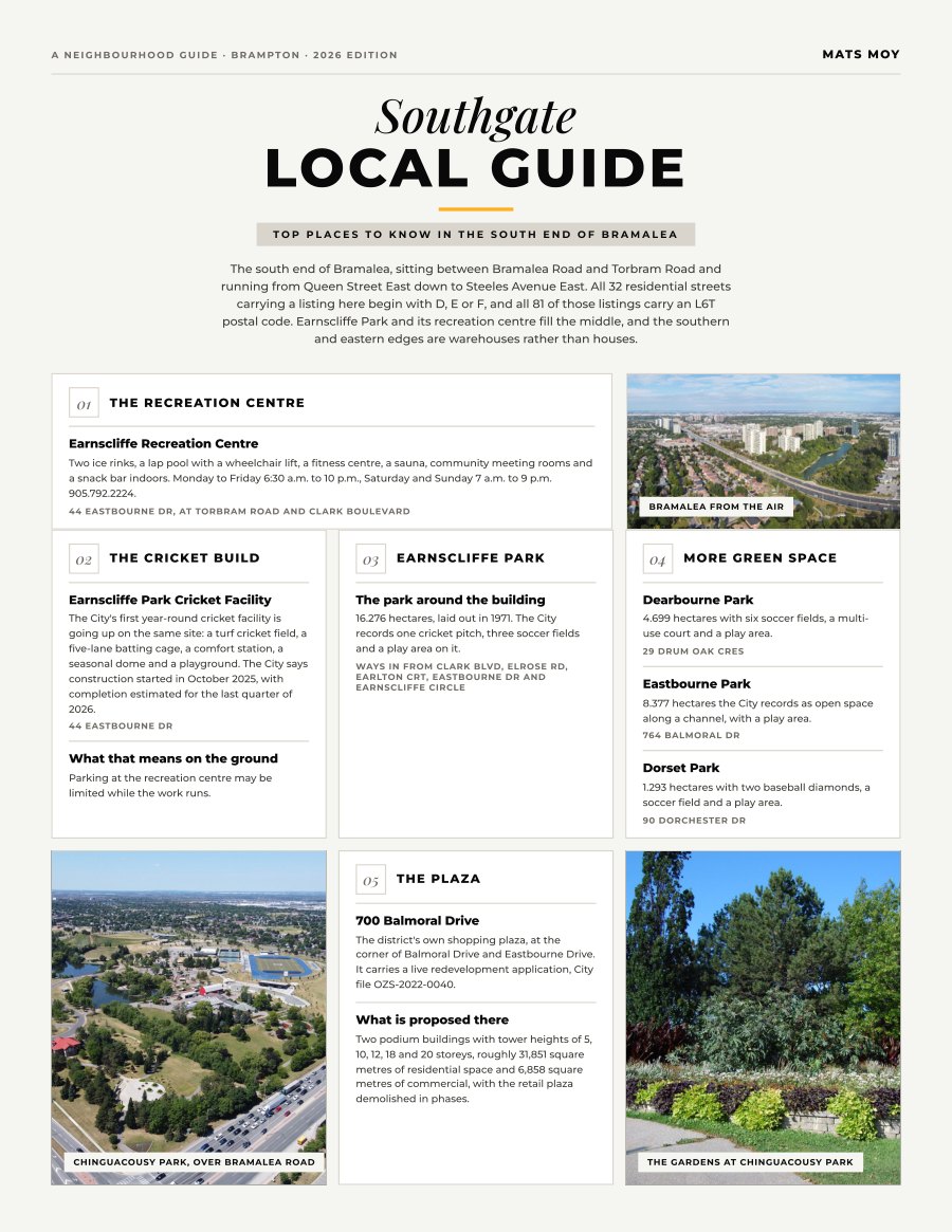
Southgate, Brampton
The south end of Bramalea, sitting between Bramalea Road and Torbram Road and running from Queen Street East down to Steeles Avenue East. All 32 residential streets carrying a listing here begin with D, E...
Get the guide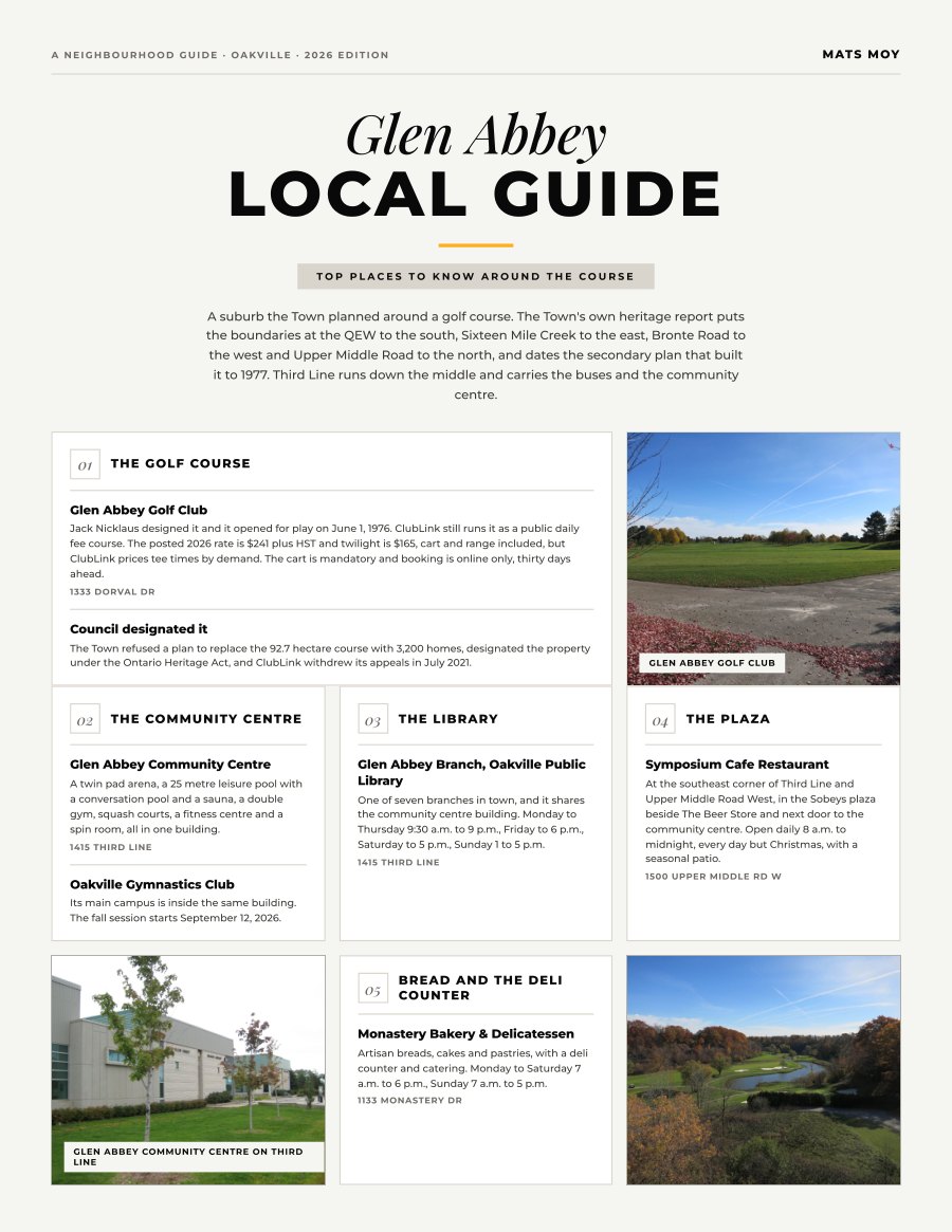
Glen Abbey, Oakville
A suburb the Town planned around a golf course. The Town's own heritage report puts the boundaries at the QEW to the south, Sixteen Mile Creek to the east, Bronte Road to the west and Upper Middle Road to...
Get the guide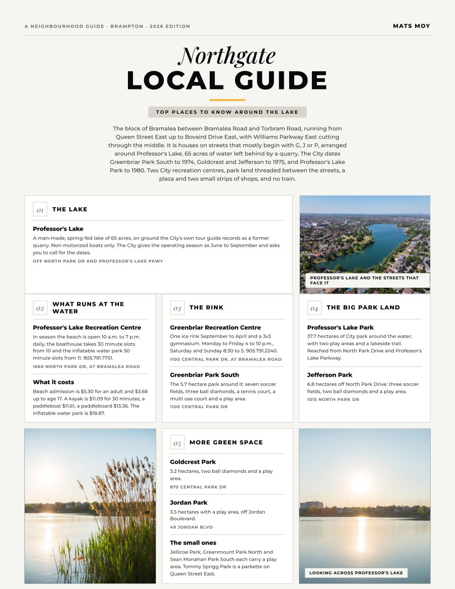
Northgate, Brampton
The block of Bramalea between Bramalea Road and Torbram Road, running from Queen Street East up to Bovaird Drive East, with Williams Parkway East cutting through the middle. It is houses on streets that...
Get the guide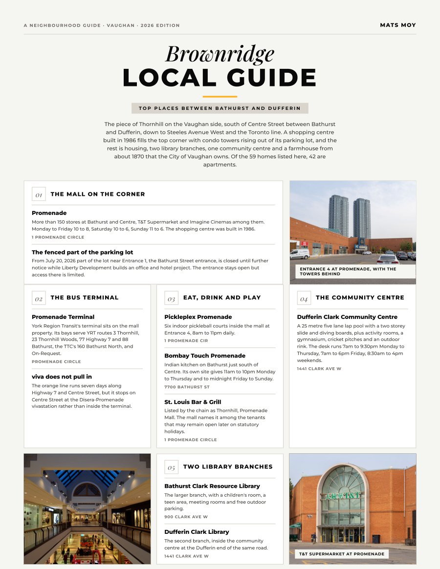
Brownridge, Vaughan
The piece of Thornhill on the Vaughan side, south of Centre Street between Bathurst and Dufferin, down to Steeles Avenue West and the Toronto line. A shopping centre built in 1986 fills the top corner with...
Get the guide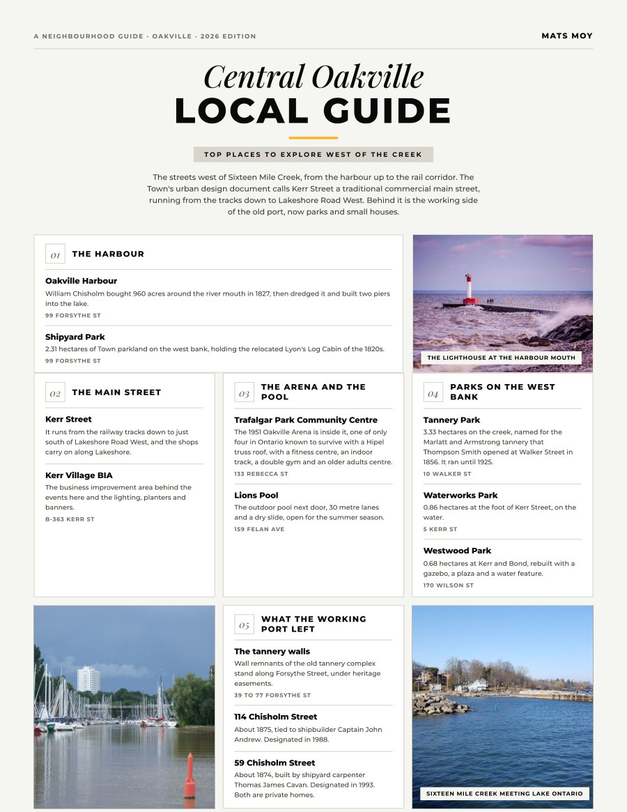
Central Oakville, Oakville
The streets west of Sixteen Mile Creek, from the harbour up to the rail corridor. The Town's urban design document calls Kerr Street a traditional commercial main street, running from the tracks down to...
Get the guide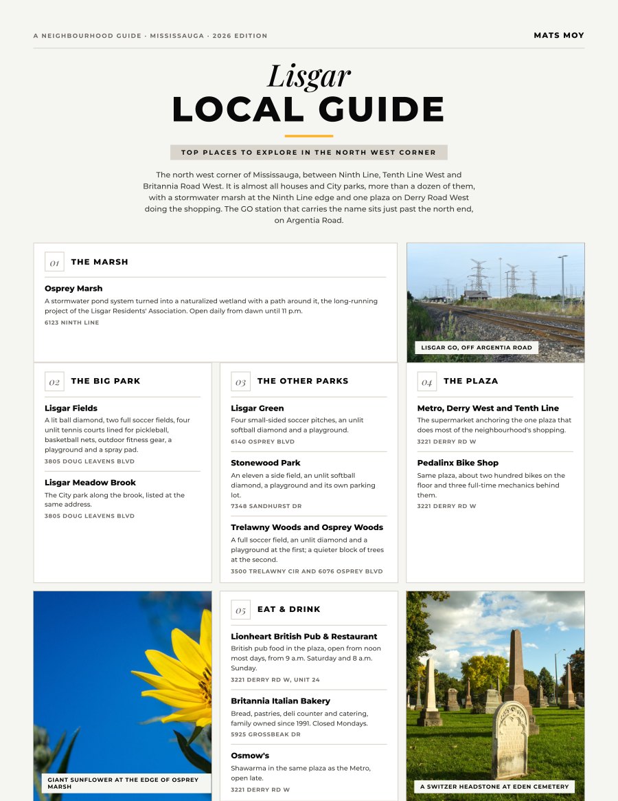
Lisgar, Mississauga
The north west corner of Mississauga, between Ninth Line, Tenth Line West and Britannia Road West. It is almost all houses and City parks, more than a dozen of them, with a stormwater marsh at the Ninth...
Get the guide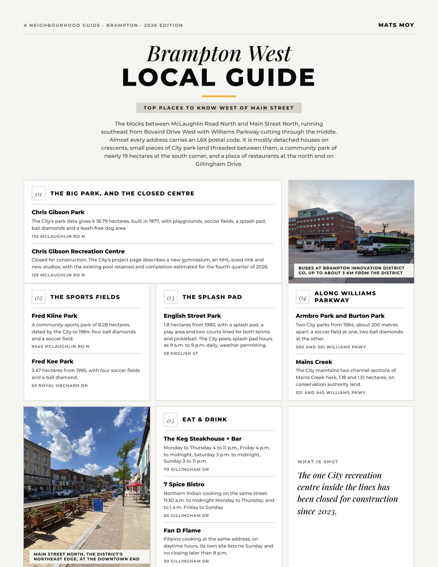
Brampton West, Brampton
The blocks between McLaughlin Road North and Main Street North, running southeast from Bovaird Drive West with Williams Parkway cutting through the middle. Almost every address carries an L6X postal code....
Get the guide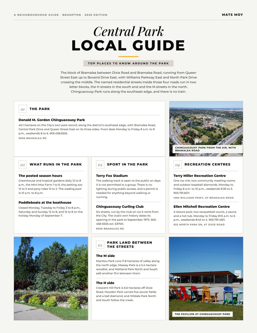
Central Park, Brampton
The block of Bramalea between Dixie Road and Bramalea Road, running from Queen Street East up to Bovaird Drive East, with Williams Parkway East and North Park Drive crossing the middle. The named...
Get the guideMore neighbourhoods are on the way.